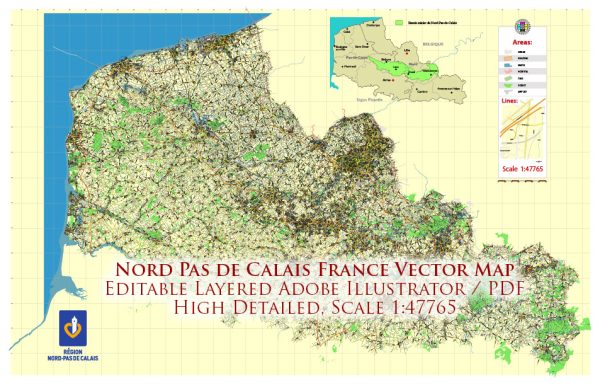
Nord-Pas-de-Calais was an administrative region in northern France. Please note that administrative divisions in France have undergone changes, and as of 2016, Nord-Pas-de-Calais merged with Picardy to form the new administrative region of Hauts-de-France.
General overview of the maritime and air transportation in the region as of my last update:
Maritime Transportation:
- Ports: The region has several important ports, with Calais being one of the major ones. Calais serves as a vital gateway for ferry services connecting France to the United Kingdom. The Port of Dunkirk is another significant maritime hub in the region, known for its strategic location and various cargo activities.
- Channel Tunnel: While not strictly maritime, the Channel Tunnel (Eurotunnel) connecting Coquelles near Calais in France to Folkestone in the United Kingdom plays a crucial role in cross-Channel transportation. It facilitates the movement of both passengers and freight between the two countries.
Air Transportation:
- Airports: Lille Airport (Lille Lesquin Airport) is the main international airport serving the region. It provides both domestic and international flights. As of my last update, it was the 12th busiest airport in France. The airport handles a mix of passenger and cargo traffic.
- Transportation Hubs: Apart from Lille Airport, the region benefits from its proximity to other major international airports in neighboring countries. For example, Brussels Airport in Belgium is within reasonable reach, providing additional air travel options.


 Author: Kirill Shrayber, Ph.D. FRGS