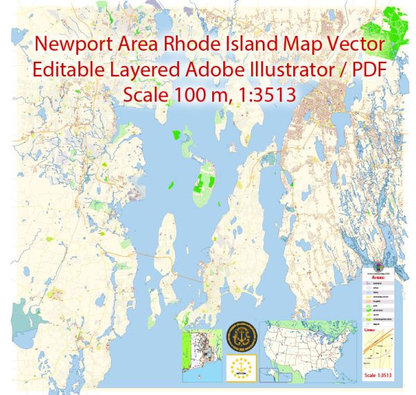
General overview of Newport, Rhode Island’s maritime and air transportation.
Maritime Transportation: Newport, Rhode Island, is a historic coastal city known for its maritime heritage. The city has a significant harbor and waterfront area that plays a crucial role in maritime activities. Newport Harbor serves as a hub for various maritime operations, including recreational boating, fishing, and commercial activities.
The harbor accommodates a mix of private yachts, sailboats, and commercial vessels. Newport is also famous for hosting sailing events, including the prestigious America’s Cup races. Numerous marinas and docks line the waterfront, providing facilities for boat storage, maintenance, and services.
Ferry services are available in Newport, connecting the city to nearby islands and mainland destinations. These ferries often provide a scenic and convenient mode of transportation for both residents and visitors.
Air Transportation: T.F. Green Airport (PVD) is the major airport serving the state of Rhode Island, including Newport. Located in Warwick, approximately 30 miles north of Newport, T.F. Green Airport offers domestic and limited international flights. It serves as a convenient air gateway for those traveling to and from Newport and the surrounding areas.
Ground transportation options from T.F. Green Airport to Newport include rental cars, taxis, and shuttle services. Additionally, there are public transportation options connecting the airport to various points in the state.
While Newport itself does not have a commercial airport, T.F. Green Airport’s accessibility makes air travel a viable option for those visiting the city. Newport’s appeal as a tourist destination, as well as its historical and maritime significance, continues to attract visitors from around the world.
For the most up-to-date and specific information on Newport’s maritime and air transportation, it is recommended to check with local authorities, transportation agencies, and relevant service providers.


 Author: Kirill Shrayber, Ph.D. FRGS