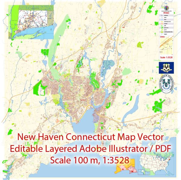
New Haven, Connecticut, is a city situated on the northern shore of Long Island Sound. While it doesn’t have a major international airport or a large seaport, it is well-connected to transportation infrastructure in the region.
Air Transportation:
- Tweed New Haven Airport (HVN): Tweed New Haven Airport is a regional airport located just a few miles from downtown New Haven. It primarily serves domestic flights and offers connections to hubs such as Philadelphia International Airport.
- Bradley International Airport (BDL): Although not in New Haven, Bradley International Airport is the largest airport in the region and is located about an hour’s drive north of New Haven. It serves as a major gateway for both domestic and some international flights.
Maritime Transportation:
- Port of New Haven: While New Haven does have a harbor, it is not a major international seaport. However, the Port of New Haven is an important regional port, handling goods and cargo traffic. It has facilities for bulk cargo, including petroleum products, and plays a role in the transportation of goods within the state and the region.
- Long Island Sound: New Haven’s waterfront on Long Island Sound historically played a significant role in maritime activities. While major shipping traffic may not be as prevalent today, the Sound remains important for regional transportation, including ferry services connecting New Haven to destinations like Long Island.
Overall Transportation:
- Rail Transportation: New Haven is a major rail hub, with a busy Amtrak station (New Haven Union Station) that serves as a key stop on the Northeast Corridor. Metro-North Railroad also provides commuter rail services, connecting New Haven to New York City and other parts of Connecticut.
- Highways: The city is well-connected by highways, with I-95 running along the coast and I-91 passing through the city. These highways facilitate both local transportation and connections to broader regional and national transportation networks.


 Author: Kirill Shrayber, Ph.D. FRGS