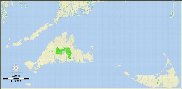
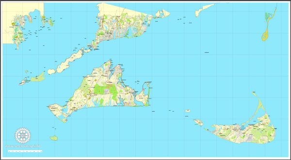
General overview of maritime and air transportation to Nantucket and Martha’s Vineyard, both of which are popular islands off the coast of Massachusetts in the United States.
Nantucket:
Maritime Transportation:
- Ferries: Ferries are a common mode of transportation to Nantucket. They operate from multiple locations on the mainland, including Hyannis and Harwich. The ferry ride offers scenic views of the ocean and takes approximately 2-2.5 hours.
- High-Speed Ferries: Some companies operate high-speed ferries, reducing the travel time to around 1 hour. These are usually more expensive but provide a quicker option.
- Private Boats: Nantucket has a harbor that accommodates private boats and yachts. There are marinas available for docking.
Air Transportation:
- Nantucket Memorial Airport (ACK): The island has its airport, Nantucket Memorial Airport, which is served by commercial airlines. Flights to and from Nantucket are available from various airports on the mainland, including Boston Logan International Airport.
- Private Aviation: Private planes can also land at Nantucket Memorial Airport, offering convenience for those with private aircraft.
Martha’s Vineyard:
Maritime Transportation:
- Ferries: Similar to Nantucket, ferries operate from various mainland locations, including Woods Hole. The ferry ride to Martha’s Vineyard takes around 45 minutes to 1.5 hours, depending on the departure point.
- High-Speed Ferries: High-speed ferry services are available, providing a faster option for travelers.
- Private Boats: Martha’s Vineyard has several harbors and marinas that accommodate private boats and yachts.
Air Transportation:
- Martha’s Vineyard Airport (MVY): The island has its airport, Martha’s Vineyard Airport, with regular flights to and from major airports, including Boston Logan International Airport.
- Private Aviation: Private planes can use Martha’s Vineyard Airport for landing and takeoff.
General Information:
- Seasonal Variations: Both Nantucket and Martha’s Vineyard experience increased transportation options during the summer months when tourism is at its peak.
- Reservations: It’s advisable to make reservations for ferry rides, especially during busy seasons, as they can fill up quickly.
- Transportation Companies: Multiple ferry and airline companies operate services to these islands, providing options for travelers.


 Author: Kirill Shrayber, Ph.D. FRGS