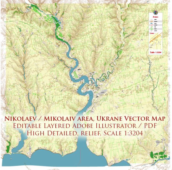
General overview based on common features of cities in Ukraine.
Water Transportation:
- Port Facilities: Mykolaiv, being a major port city on the Black Sea, likely has well-developed port facilities. Ports play a crucial role in facilitating trade, both import and export, and contribute significantly to the city’s economic activities.
- River Transport: The city might also have connections to river transport, as some Ukrainian cities are situated along navigable rivers. However, the significance of river transport may vary depending on the specific geography of the region.
Air Transportation:
- Airport: Mykolaiv is likely to have an airport providing air transportation services. Airports are essential for both domestic and international travel. The airport would serve as a gateway for tourists, business travelers, and locals.
- Airlines: Various airlines may operate flights to and from Mykolaiv, connecting the city to different destinations. These airlines could include both domestic carriers within Ukraine and international airlines.
- Cargo Handling: The airport may also have facilities for handling cargo, facilitating the transportation of goods by air.
Please note that the specifics might have changed since my last update, and I recommend checking with local sources or recent travel information for the latest details on Mykolaiv’s water and air transportation infrastructure. You can also refer to the city’s official website or transportation authorities for the most accurate and current information.


 Author: Kirill Shrayber, Ph.D. FRGS