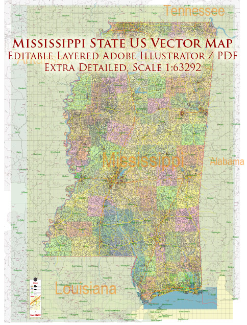
Mississippi is a state located in the southeastern region of the United States. It is known for its diverse geography, with the Mississippi River running along its western border and the Gulf of Mexico to the south. The state has a significant impact on water and air transportation due to its strategic location and various transportation infrastructure.
Water Transportation:
- Mississippi River: The Mississippi River plays a crucial role in water transportation for the state. It is one of the longest rivers in North America and serves as a major trade route. The river facilitates the movement of goods and commodities, including agricultural products, minerals, and industrial goods.
- Port of Gulfport: Located on the Gulf of Mexico, the Port of Gulfport is a major deep-water port in Mississippi. It handles a variety of cargoes, including containerized cargo, bulk cargo, and project cargo. The port contributes significantly to international trade and commerce.
- Port of Pascagoula: Another important port in Mississippi is the Port of Pascagoula, situated on the Gulf Coast. It is a deep-water port with facilities for handling various types of cargo, including petroleum products, chemicals, and forest products.
Air Transportation:
- Jackson-Medgar Wiley Evers International Airport (JAN): Located in the state capital, Jackson, JAN is the main airport serving the region. It offers domestic flights and connects Mississippi to major cities across the United States.
- Gulfport-Biloxi International Airport (GPT): Situated on the Gulf Coast, GPT is a key airport for the southern part of the state. It provides both domestic and limited international flights, contributing to regional air transportation.
- Tupelo Regional Airport (TUP): Serving the northeastern part of Mississippi, Tupelo Regional Airport provides general aviation services and limited commercial flights.
- Golden Triangle Regional Airport (GTR): Located near Columbus, GTR serves the Golden Triangle area and contributes to air transportation in the eastern part of the state.
These transportation hubs play a vital role in supporting Mississippi’s economic activities, enabling the movement of goods and people within the state and connecting it to national and international markets. The combination of water and air transportation infrastructure enhances Mississippi’s accessibility and trade capabilities.


 Author: Kirill Shrayber, Ph.D. FRGS