Miami, Florida, serves as a major hub for both maritime and air transportation, playing a crucial role in connecting the United States with Latin America, the Caribbean, and beyond. Here’s a brief overview of the maritime and air transportation aspects in Miami:
Maritime Transportation:
1. PortMiami:
- PortMiami is one of the largest and busiest container ports in the United States.
- It handles a diverse range of cargo, including containerized goods, automobiles, perishables, and more.
- The port has deep channels that accommodate large vessels, making it a preferred gateway for international trade.
2. Cruise Capital of the World:
- Miami is often referred to as the “Cruise Capital of the World” due to its prominent cruise ship industry.
- PortMiami is a major embarkation point for cruise vacations, hosting numerous cruise lines and serving millions of passengers annually.
3. Foreign Trade Zone:
- Miami has a designated Foreign Trade Zone (FTZ), which facilitates international trade by allowing certain goods to be imported, stored, and re-exported with reduced or eliminated customs duties.
4. Intermodal Connectivity:
- The port is well-connected to rail and road networks, providing efficient intermodal transportation options for cargo distribution across the country.
Air Transportation:
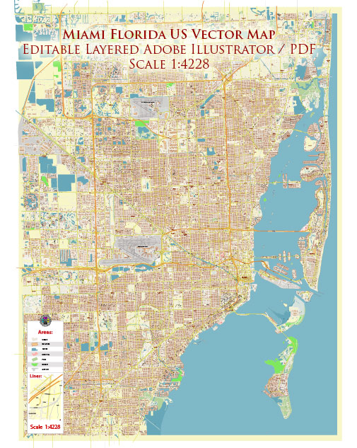
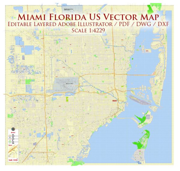
1. Miami International Airport (MIA):
- Miami International Airport is a major gateway for air traffic between the United States and Latin America, Europe, and other international destinations.
- It consistently ranks among the busiest airports in the U.S. for international passengers and cargo.
2. Cargo Operations:
- MIA is a significant hub for air cargo, handling a substantial volume of perishable goods, electronics, and other time-sensitive shipments.
- It has extensive cargo facilities and is a key player in the global air freight network.
3. Hub for Airlines:
- Miami serves as a hub for several major airlines, connecting passengers and cargo across the Americas and beyond.
- The airport offers a comprehensive range of domestic and international flights, contributing to its status as a major aviation hub.
4. General Aviation:
- In addition to commercial flights, Miami has a thriving general aviation sector, with several airports catering to private and business aviation needs.
Conclusion:
Miami’s strategic location, excellent infrastructure, and connectivity make it a pivotal point for both maritime and air transportation. The city’s role as a gateway to the Americas and its economic significance in international trade and tourism underscore its importance in the global transportation network.

 Author: Kirill Shrayber, Ph.D. FRGS