Editable Map Maryland State

Editable Map — Maryland State

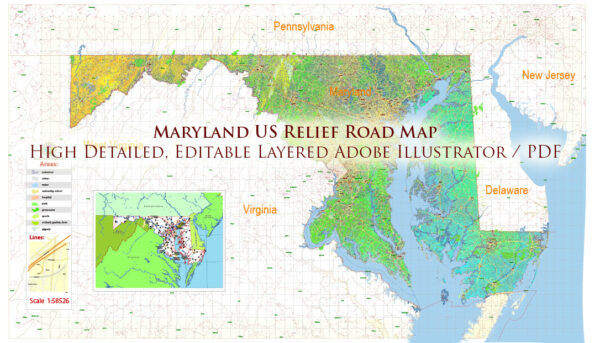
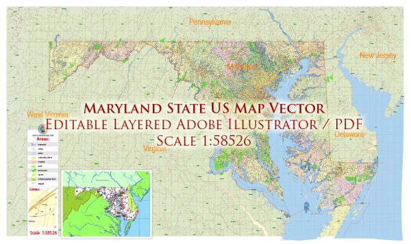
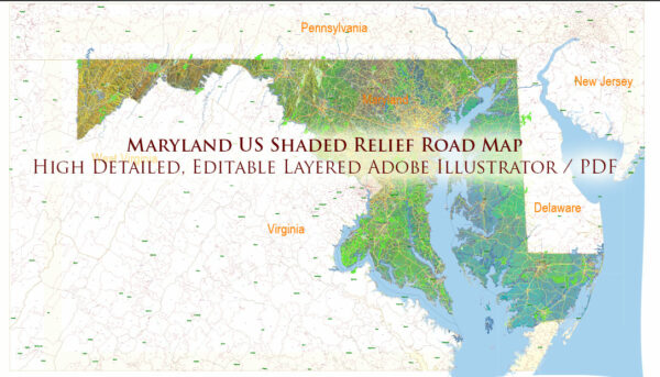
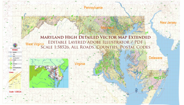
An accurate editable map of Maryland State that keeps hierarchy under control when scaling from A3 to A0. Named layers let you restyle colors, line weights and label classes without cleanup passes. Typography spacing is tuned for quick reading on posters, brochures and reports. Crisp vectors preserve edges at high DPI and export compactly for web delivery. Waterfronts and parks receive extra separation for better contrast on light palettes. Bridges, tunnels and ferry lines are isolated so routes remain legible after recolor.

Ideal for signage, event maps, campus leaflets and waterfront brochures. Use it for visitor guides, city infographics, investment decks and municipal communications. Files remain compact thanks to clean geometry and disciplined labeling. Reliable as a base layer; easy to adapt when projects or sponsors change. The map integrates neatly with common DTP and GIS workflows.

Maryland is divided into various counties, each containing cities and towns. Some of the main cities and towns in Maryland include:

  1. Baltimore – The largest city in Maryland and a major port city.
  2. Annapolis – The state capital of Maryland, known for its historic district and waterfront.
  3. Columbia – A planned community and census-designated place in Howard County.
  4. Silver Spring – Located just north of Washington, D.C., it’s a suburban city known for its cultural diversity.
  5. Frederick – A city in Frederick County with a historic downtown area and proximity to the Appalachian Mountains.
  6. Rockville – The county seat of Montgomery County, known for its vibrant town center.
  7. Gaithersburg – A city in Montgomery County with a mix of residential and commercial areas.
  8. Bowie – A city in Prince George’s County with a growing population.
  9. Hagerstown – Located in Washington County, it’s a city with a rich history.
  10. Salisbury – A city on the Eastern Shore known for its university and cultural events.

These are just a few examples, and there are many more towns and cities throughout the state, each with its own unique character and attractions.

Author: Kirill Shrayber, Ph.D.

I have been working with vector cartography for over 25 years, including GPS, GIS, Adobe Illustrator and other professional cartographic software.
Linkedin: https://www.linkedin.com/in/kirill-shrayber-0b839325/
Twitter: https://twitter.com/vectormapper

Are we missing some maps? Let us know!!!
What map do you need?

    We will upload it within the next 24 hours and notify you by Email.

    Menu