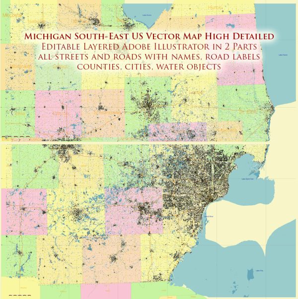
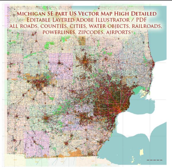
South-East part of Michigan, descriptions of water and air transportation.
Water Transportation:
- Great Lakes Shipping: The South-East part of Michigan is situated near the Great Lakes, particularly Lake Erie. The Great Lakes are a significant transportation route for shipping goods to and from the region. Detroit, being located on the Detroit River connecting Lake Erie and Lake St. Clair, has historically been an essential port.
- Detroit River: The Detroit River serves as a crucial waterway, facilitating maritime activities and connecting the Great Lakes system. It has been important for both commercial shipping and recreational boating.
- Port of Detroit: The Port of Detroit is a major inland port that handles a variety of cargoes, including bulk commodities and general cargo.
Air Transportation:
- Detroit Metropolitan Wayne County Airport (DTW): Located in Romulus, DTW is one of the busiest airports in the United States and serves as a major hub for domestic and international flights. It provides air transportation services for the entire Detroit metropolitan area.
- Willow Run Airport: Situated near Ypsilanti, Willow Run Airport is another significant airport in the region, known for its history and its role in World War II. It is primarily used for general aviation and cargo operations.
- Coleman A. Young International Airport: This is a smaller airport located in Detroit, serving general aviation and charter flights.


 Author: Kirill Shrayber, Ph.D. FRGS