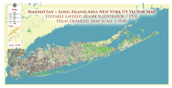
General overview of water and air transportation in the Manhattan and Long Island areas in the United States.
Water Transportation:
Ferries:
- NYC Ferry Service: Provides ferry connections between Manhattan and various points in Brooklyn, Queens, and the Bronx.
- Staten Island Ferry: Connects Manhattan and Staten Island, offering stunning views of the Statue of Liberty and the Manhattan skyline.
Water Taxis:
- New York Water Taxi: Offers transportation to various points along the East River, connecting Manhattan with Brooklyn and Queens.
Cruise Ports:
- Manhattan Cruise Terminal: A major cruise port located on the Hudson River, serving as a departure point for many cruise lines.
Recreational Boating:
- Marinas: Manhattan and Long Island have several marinas and yacht clubs for private boat owners.
Air Transportation:
Airports:
- John F. Kennedy International Airport (JFK): Located in Queens, JFK is one of the busiest airports in the United States, providing international and domestic flights.
- LaGuardia Airport (LGA): Also situated in Queens, LaGuardia primarily handles domestic flights but has some international services.
- Teterboro Airport (TEB): Located in New Jersey, Teterboro serves as a general aviation airport.
Heliports:
- Downtown Manhattan Heliport: Situated on the East River, it serves as a hub for helicopter tours and private helicopter services.
- East 34th Street Heliport: Provides helicopter services, including charter flights.
Recent Developments:
- Infrastructure Improvements: Ongoing efforts to improve water transportation infrastructure, including the expansion of ferry services.
- Airport Upgrades: Modernization and expansion projects at JFK and LaGuardia to enhance the passenger experience.


 Author: Kirill Shrayber, Ph.D. FRGS