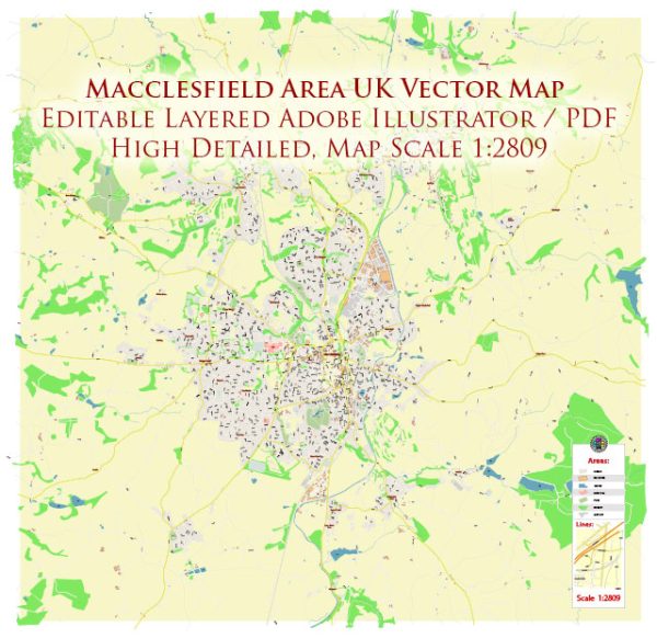
Macclesfield is a market town in the unitary authority of Cheshire East, England. Here is a general description of urban amenities in Macclesfield:
- Shopping: Macclesfield has a variety of shops, ranging from independent retailers to well-known high street brands. The town center is likely to have grocery stores, fashion boutiques, electronics shops, and more.
- Dining: There are numerous restaurants, cafes, and pubs in Macclesfield, offering a diverse range of cuisines. From traditional British fare to international options, residents and visitors can find a variety of dining establishments to suit different tastes.
- Cultural and Recreational Facilities: Macclesfield may have cultural venues such as theaters, art galleries, and museums. Additionally, recreational facilities like parks and sports centers are likely available for residents to enjoy.
- Transportation: Macclesfield is well-connected by public transportation, including buses and trains. The town may have a train station, providing easy access to nearby cities and towns.
- Education: There are likely primary and secondary schools in Macclesfield, providing education for local children. Additionally, there may be further education institutions or colleges for older students.
- Healthcare: Macclesfield is likely to have healthcare facilities, including general practitioners (GPs), clinics, and a hospital to cater to the medical needs of residents.
- Green Spaces: Parks and recreational areas may be scattered throughout Macclesfield, providing residents with places to relax, exercise, and enjoy outdoor activities.
- Community Services: Various community services such as libraries, community centers, and social organizations may be present, fostering a sense of community among residents.


 Author: Kirill Shrayber, Ph.D. FRGS