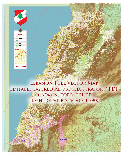
General overview of Lebanon’s maritime and air transportation. Please note that there may have been changes or developments since then.
Maritime Transportation:
- Ports: Lebanon has several major ports along its Mediterranean coastline. The two primary ports are the Port of Beirut and the Port of Tripoli.
- Port of Beirut: This is the largest and busiest port in Lebanon, serving as a crucial hub for both container and general cargo shipments.
- Port of Tripoli: Located in the northern part of the country, it plays a significant role in handling cargo, including containers, bulk, and general goods.
- Shipping Industry: Lebanon’s shipping industry facilitates the import and export of goods. The country relies on maritime transport for a substantial portion of its trade activities.
- Maritime Security: Given its location, Lebanon faces challenges related to maritime security. Efforts are made to ensure the safety of maritime routes and the prevention of illegal activities in its waters.
Air Transportation:
- Airports: Lebanon has several airports, with Beirut Rafic Hariri International Airport being the primary international gateway. Other airports include Tripoli International Airport, Rafic Hariri Airport in Beirut handles the majority of international flights, connecting Lebanon to various destinations globally.
- Airlines: The national carrier is Middle East Airlines (MEA), which operates both domestic and international flights. Additionally, various international airlines serve Beirut and other airports in Lebanon.
- Air Traffic Control: Air traffic control and management are overseen by the Directorate General of Civil Aviation (DGCA) in Lebanon. They are responsible for ensuring the safe and efficient operation of air transportation.
- Challenges: Lebanon has faced challenges in maintaining and developing its air transportation infrastructure due to political instability and economic difficulties. These challenges can impact the efficiency and reliability of air travel.


 Author: Kirill Shrayber, Ph.D. FRGS