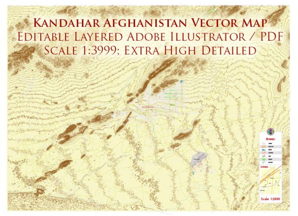
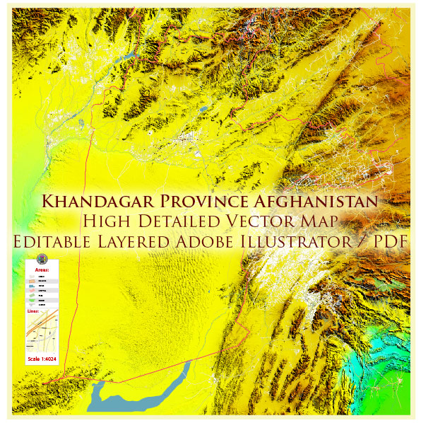
General overview of urban amenities in Kandahar, Afghanistan.
Kandahar is one of Afghanistan’s major cities and has historically been an important cultural and economic center. Here are some aspects of urban amenities that were present in Kandahar:
- Transportation:
- Roads: Kandahar has a network of roads connecting different parts of the city.
- Airport: Kandahar International Airport serves as a major transportation hub.
- Healthcare:
- Hospitals and clinics: Kandahar has medical facilities to provide healthcare services to the local population.
- Education:
- Schools and universities: There are educational institutions in Kandahar offering primary, secondary, and higher education.
- Public Services:
- Government offices: Administrative offices are present to provide public services.
- Police stations: Law enforcement agencies are responsible for maintaining order and ensuring the safety of residents.
- Commercial Centers:
- Markets and shopping areas: Kandahar has markets and commercial centers where residents can buy goods and services.
- Religious Sites:
- Mosques: As a predominantly Muslim city, Kandahar has mosques that serve as places of worship and community gathering.
- Utilities:
- Water and electricity services: Infrastructure for basic utilities is in place to serve the population.
- Cultural and Recreational Facilities:
- Parks and recreational areas: Some parts of the city may have parks or recreational spaces.
- Cultural venues: Kandahar may have cultural centers, museums, or other venues promoting local arts and heritage.
It’s important to note that the situation in Kandahar and throughout Afghanistan may have evolved, especially considering the geopolitical developments in the region. The availability and functionality of these amenities may have been affected by various factors, including conflict and changes in governance. For the most up-to-date and accurate information, it is recommended to refer to recent sources or news reports.


 Author: Kirill Shrayber, Ph.D. FRGS