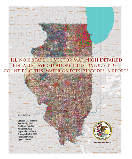
Illinois, a state in the Midwestern United States, has a well-developed air transportation system with several major airports serving both domestic and international flights.
- Chicago O’Hare International Airport (ORD): Located in Chicago, O’Hare International Airport is one of the busiest airports in the world. It serves as a major hub for domestic and international flights and is a key hub for several major airlines. O’Hare has multiple terminals, each serving different airlines and destinations.
- Chicago Midway International Airport (MDW): Another significant airport in Chicago, Midway International Airport primarily handles domestic flights. It is a major hub for low-cost carriers and provides a more convenient option for travelers on the city’s southwest side.
- General Aviation Airports: In addition to the major international airports, Illinois has numerous general aviation airports. These airports cater to private and smaller aircraft, supporting activities such as business aviation, recreational flying, and emergency services.
- Peoria International Airport (PIA): Located in Peoria, this airport serves as a regional hub, providing commercial flights to major destinations.
- Quad City International Airport (MLI): Serving the Quad Cities region, this airport connects travelers to various destinations, offering both domestic and limited international flights.
- Other Regional Airports: Illinois has several smaller airports across the state, facilitating air travel to and from various communities. These airports play a crucial role in supporting local economies and providing connectivity.
The air transportation infrastructure in Illinois is a vital component of the state’s economy and serves as a key link for both business and leisure travelers. For the most current and detailed information on air transportation in Illinois, including flight schedules, services, and infrastructure updates, it’s recommended to check with the relevant airport authorities or visit their official websites.


 Author: Kirill Shrayber, Ph.D. FRGS