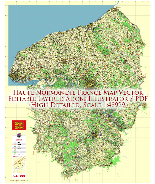
Haute-Normandie was a former administrative region in northern France. However, keep in mind that administrative divisions in France have been reorganized, and as of 2016, Haute-Normandie and Basse-Normandie were merged to form the new region of Normandy.
That being said, Normandy, including the former Haute-Normandie, has historically been an important region for maritime activities due to its extensive coastline along the English Channel. Key features related to maritime transportation in the area might include:
- Ports: Normandy is home to several significant ports, including Le Havre, one of the largest and busiest ports in France. Le Havre is a major gateway for international trade and plays a crucial role in maritime transportation.
- Shipping and Logistics: The region’s ports are crucial for shipping goods both domestically and internationally. They facilitate the import and export of various products, contributing to the economic activity of the region.
- Transport Infrastructure: Haute-Normandie, like the rest of Normandy, has well-developed transport infrastructure, including road and rail networks that connect the ports to other parts of France and Europe.
- Industrial Presence: The maritime transportation sector often goes hand in hand with industrial activities. Normandy has industries related to shipping, shipbuilding, and other maritime-related sectors.
- Tourism and Recreation: The coastline of Normandy also attracts tourists, and recreational maritime activities such as sailing and boating are common in the region.
- Historical Significance: Normandy has historical significance, especially in relation to World War II. The D-Day landings occurred on the beaches of Normandy in 1944, making the region historically important for maritime military operations.
For the most current and specific information regarding maritime transportation in the Normandy region, including Haute-Normandie, I recommend checking with local authorities, regional development agencies, or updated online sources.


 Author: Kirill Shrayber, Ph.D. FRGS