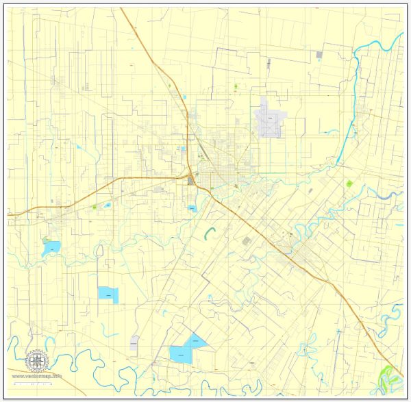
Harlingen, Texas, is a city located in the Rio Grande Valley in the southern part of the state. Here’s a general description of urban amenities in Harlingen:
- Recreational Facilities: Harlingen offers various parks and recreational facilities for residents and visitors. Victor Park, McKelvey Park, and Harlingen Soccer Complex are some of the places where people can enjoy outdoor activities.
- Cultural and Historical Sites: The city has historical and cultural attractions, such as the Harlingen Arts and Heritage Museum, where you can explore exhibits showcasing the region’s history and art.
- Shopping and Dining: Harlingen has a range of shopping centers, restaurants, and local eateries. Bass Pro Shops and Valle Vista Mall are popular shopping destinations, while the city’s diverse culinary scene caters to different tastes.
- Education: The city is home to educational institutions, including Texas State Technical College and the University of Texas Rio Grande Valley Regional Academic Health Center.
- Healthcare Facilities: Harlingen has medical facilities to cater to the healthcare needs of its residents. Valley Baptist Medical Center and Harlingen Medical Center are among the prominent healthcare institutions in the area.
- Transportation: The city is connected by major highways, including I-69E and I-2, providing convenient transportation options. Valley International Airport serves as the regional airport.
- Community Events: Harlingen hosts various community events and festivals throughout the year, fostering a sense of community and providing entertainment options for residents.
- Sports and Recreation: Sports enthusiasts can enjoy activities such as golf at Tony Butler Golf Course or attend local sporting events. The Harlingen Field is a popular venue for sports activities and events.
- Community Services: The city provides essential services such as police and fire departments, public libraries, and community centers.
It’s advisable to check with local sources or the official city website for the most up-to-date information on amenities and developments in Harlingen.


 Author: Kirill Shrayber, Ph.D. FRGS