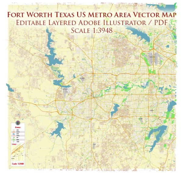
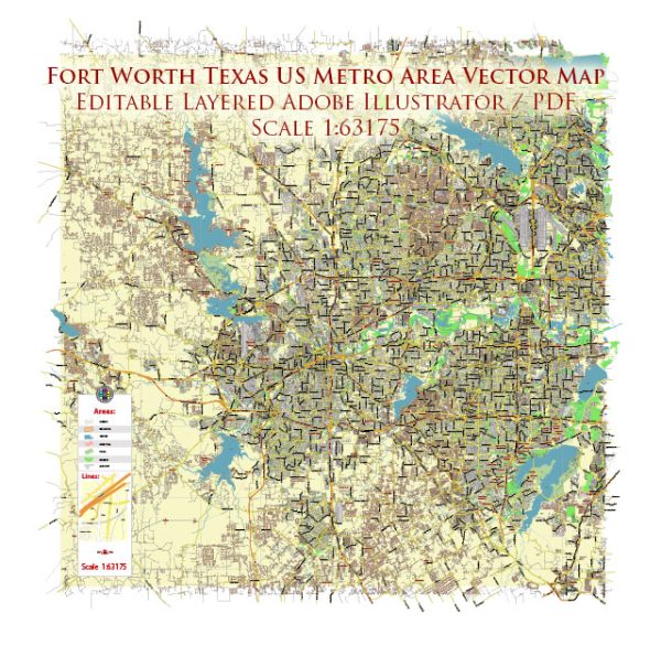
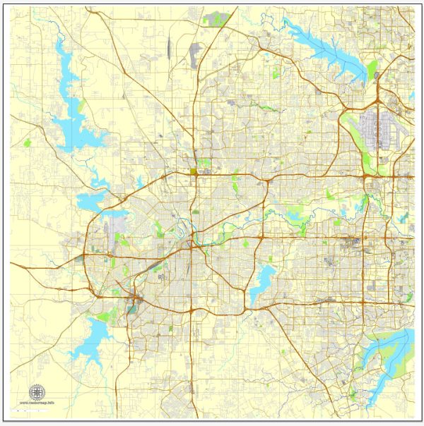
Fort Worth, Texas, is a vibrant city with a mix of urban amenities and a rich cultural heritage.
- Cultural District: Fort Worth’s Cultural District is home to several world-class museums, including the Kimbell Art Museum, the Modern Art Museum of Fort Worth, and the Amon Carter Museum of American Art. These institutions offer a diverse range of artistic and cultural experiences.
- Sundance Square: Sundance Square is a popular downtown area with a mix of shops, restaurants, and entertainment venues. It’s a bustling urban space that often hosts events and activities.
- Stockyards National Historic District: Fort Worth has a deep connection to its cowboy and cattle-driving history, and the Stockyards District preserves this heritage. Visitors can experience the Fort Worth Stockyards, where cattle drives still take place, and enjoy western-themed attractions, shops, and restaurants.
- Fort Worth Water Gardens: The Water Gardens, designed by architect Philip Johnson, provide a serene urban oasis in the heart of downtown. It features several pools, fountains, and architectural elements.
- Fort Worth Zoo: The Fort Worth Zoo is a well-regarded attraction, known for its diverse collection of animals and conservation efforts. It offers a family-friendly environment with educational exhibits.
- Botanic Garden: The Fort Worth Botanic Garden is a beautiful space with a variety of gardens, including the Japanese Garden and the Rose Garden. It’s a tranquil escape within the city.
- Trinity Trails: For outdoor enthusiasts, the Trinity Trails offer a network of trails along the Trinity River, providing opportunities for walking, running, cycling, and other recreational activities.
- Culinary Scene: Fort Worth has a burgeoning culinary scene with a wide range of restaurants offering diverse cuisines. From Texas barbecue to upscale dining, there are options to suit various tastes.
- Performing Arts: The city has a vibrant performing arts scene, with venues such as Bass Performance Hall hosting Broadway shows, concerts, and other live performances.
- Education and Economy: Fort Worth is home to several higher education institutions, including Texas Christian University (TCU). The city also has a strong economy, with a focus on sectors such as aviation, healthcare, and technology.
Please note that this is a general overview, and the city’s amenities and offerings may have evolved since my last update. It’s always a good idea to check more recent sources for the latest information on Fort Worth, Texas.


 Author: Kirill Shrayber, Ph.D. FRGS