General overview based on typical features found in many mid-sized American cities.
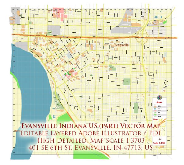
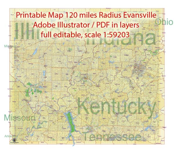
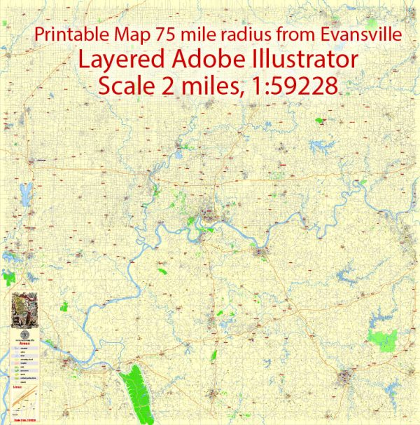
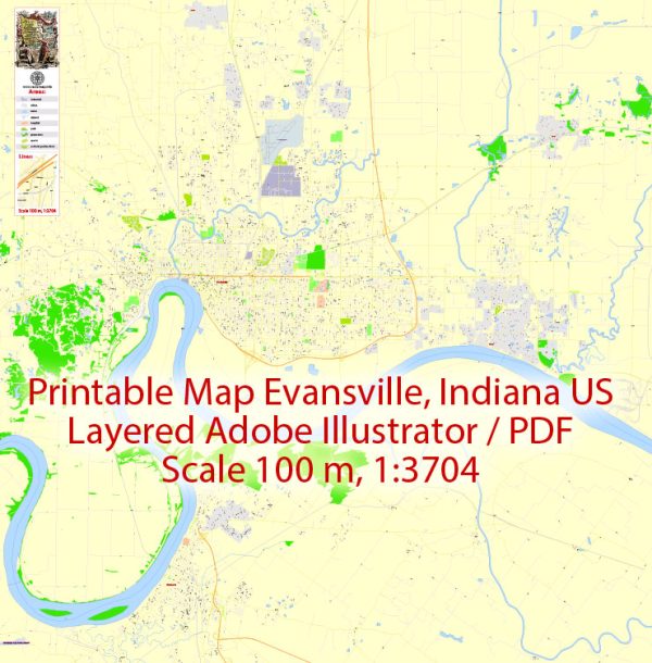
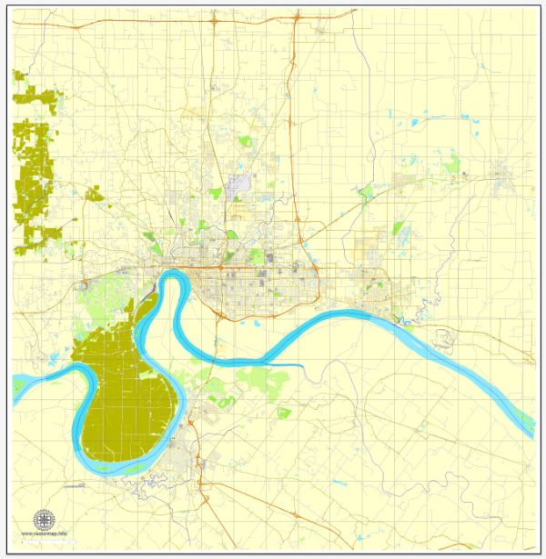
Evansville is a city in southwestern Indiana situated along the Ohio River. It serves as the commercial, medical, and cultural hub for the region. Urban amenities in Evansville may include:
- Cultural and Entertainment Facilities:
- The city may have theaters, performance venues, and cultural institutions hosting concerts, plays, and other events.
- Museums and art galleries showcasing local and regional history, art, and culture.
- Recreational Spaces:
- Parks and recreational areas for outdoor activities, sports, and family gatherings.
- Trails and bike paths for walking, running, and cycling.
- Shopping and Dining:
- A variety of shopping options, including malls, boutiques, and local shops.
- Restaurants and cafes offering diverse cuisine, reflecting the city’s cultural diversity.
- Education and Healthcare:
- Schools, colleges, and universities providing educational opportunities.
- Healthcare facilities, hospitals, and clinics for medical services.
- Community Events:
- Festivals, parades, and community events that bring residents together.
- Local markets and fairs showcasing regional products and talents.
- Transportation:
- Public transportation options such as buses and possibly a local transit system.
- Well-maintained road infrastructure for easy commuting.
- Sports and Recreation:
- Sports facilities and stadiums for both professional and amateur sports.
- Recreation centers offering various indoor activities and programs.
- Business and Employment Opportunities:
- Business districts and employment centers contributing to the local economy.
- Job opportunities in various industries and sectors.
It’s important to note that the specific amenities can change over time, and new developments may have occurred since my last update. For the most current and detailed information, I recommend checking with local sources such as city websites, community organizations, or recent publications about Evansville.

 Author: Kirill Shrayber, Ph.D. FRGS