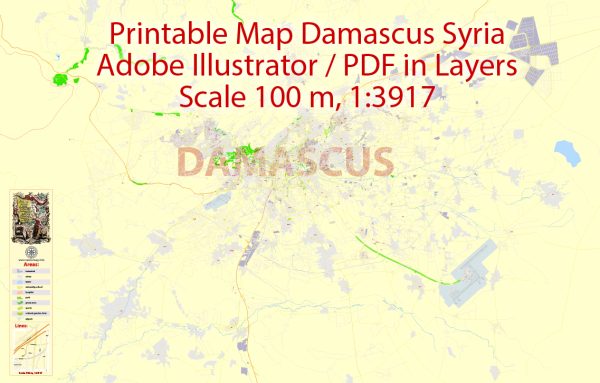
General description of Damascus, Syria, including some information about its urban amenities. Please note that the situation in the city and the country may have changed since then due to various factors, including the ongoing conflict in Syria.
Damascus is one of the oldest continuously inhabited cities in the world and has a rich history and cultural heritage. Here are some aspects of Damascus, including urban amenities:
- Historical Sites: Damascus is known for its historical and architectural landmarks. The Old City of Damascus is a UNESCO World Heritage Site and is home to iconic places such as the Umayyad Mosque, an important religious and architectural symbol.
- Markets (Souks): The city is famous for its bustling markets or souks, where you can find a variety of goods, including spices, textiles, jewelry, and traditional crafts. The most famous souk is the Al-Hamidiyah Souq.
- Cuisine: Syrian cuisine is diverse and delicious. Damascus offers a range of dining options, from street food stalls to upscale restaurants serving traditional dishes like falafel, kebabs, and various mezze.
- Parks and Gardens: Damascus has several parks and green spaces where residents and visitors can relax. The Al-Jahiz Park and Tishreen Park are popular places for recreation.
- Cultural Institutions: The city is home to museums, galleries, and cultural centers. The National Museum of Damascus showcases Syria’s rich history, while cultural centers often host events, exhibitions, and performances.
- Education and Universities: Damascus has institutions of higher education, including the University of Damascus, one of the oldest universities in the region. Educational amenities contribute to the city’s intellectual and cultural vibrancy.
- Public Transportation: Public transportation includes buses and taxis. However, the availability and reliability of these services may be influenced by the current situation in the country.
- Healthcare Facilities: Damascus has hospitals and healthcare facilities, though the accessibility and quality of healthcare may have been affected by the conflict. It’s essential to check the current situation for accurate information.
Please keep in mind that the ongoing conflict in Syria has had a significant impact on the country’s infrastructure and daily life. Conditions may have changed since my last update, and it’s crucial to verify information from up-to-date and reliable sources if you plan to visit or if you’re interested in the current state of affairs in Damascus.


 Author: Kirill Shrayber, Ph.D. FRGS