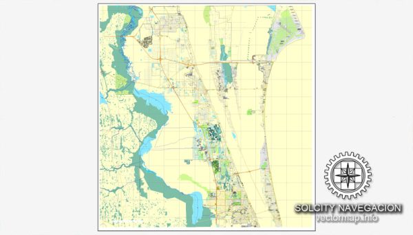
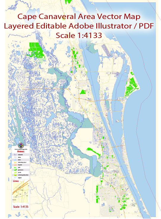
Cape Canaveral, Florida, is known for its space-related activities and is home to the Kennedy Space Center. While Cape Canaveral itself is not a large urban area, it is part of the broader Space Coast region, which includes nearby cities and towns. Here’s a general overview of the urban amenities you might find in and around Cape Canaveral:
- Kennedy Space Center Visitor Complex: This is a major tourist attraction where visitors can learn about space exploration, view space shuttles and rockets, and even witness rocket launches.
- Beaches: Cape Canaveral is situated along the Atlantic Ocean, providing residents and visitors access to beautiful beaches for recreational activities.
- Cruise Terminals: Port Canaveral, adjacent to Cape Canaveral, is one of the busiest cruise ports in the world. Cruise enthusiasts can enjoy various cruise options departing from here.
- Restaurants and Cafes: There are various dining options offering seafood and other cuisines, especially along the coast and in nearby towns like Cocoa Beach.
- Outdoor Recreation: The area offers opportunities for outdoor activities such as fishing, boating, surfing, and wildlife watching.
- Parks and Recreation Areas: There are parks and recreational areas for picnics, sports, and other outdoor activities.
- Cocoa Beach Pier: Located nearby, Cocoa Beach Pier is a historic landmark with restaurants, shops, and entertainment options.
- Shopping: While not a major shopping destination, there are local shops and malls in the nearby towns for residents and visitors.
- Educational Institutions: There are educational institutions in the broader region, including Brevard County, providing educational amenities for residents.
- Healthcare Facilities: Healthcare services are available in the surrounding communities, with hospitals and medical facilities within a reasonable distance.


 Author: Kirill Shrayber, Ph.D. FRGS