Editable Map Bohol Panglao Philippines

Editable Map — Bohol Panglao Philippines

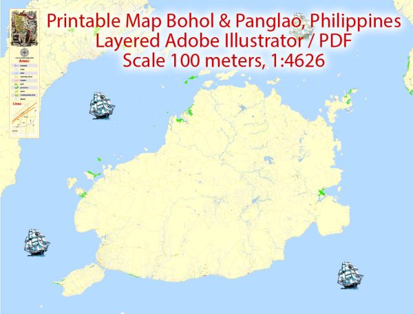
A clean editable map of Bohol Panglao Philippines with named layers and consistent geometry for fast cartographic work. The file accepts custom grids, legends and callouts without redrawing base content. Typography spacing is tuned for quick reading on posters, brochures and reports. Crisp vectors preserve edges at high DPI and export compactly for web delivery. District and neighborhood labels are arranged to avoid collisions around dense cores. Bridges, tunnels and ferry lines are isolated so routes remain legible after recolor.

Ideal for signage, event maps, campus leaflets and waterfront brochures. Use it for visitor guides, city infographics, investment decks and municipal communications. Color systems can be swapped quickly to match seasonal or brand variants. Editors can brand the palette and icons, then export sharp results for both print and web.

Bohol, including Panglao Island in the Philippines, is known for its natural beauty and rich cultural heritage rather than extensive urban amenities.

Panglao Island is particularly famous for its pristine beaches, crystal-clear waters, and vibrant coral reefs. Alona Beach, one of the most popular spots on the island, attracts tourists with its white sand and lively atmosphere. The area has seen some tourism-related infrastructure development, such as resorts, restaurants, and dive shops.

In terms of urban amenities, Alona Beach and the surrounding areas offer basic services for tourists, including hotels, guesthouses, restaurants, and shops. However, it may not have the extensive urban amenities that you would find in more urbanized areas. Larger cities in the Philippines, such as Cebu or Manila, would typically have a wider range of amenities and services.

Keep in mind that development can happen quickly in tourist destinations, so it’s recommended to check more recent sources or travel updates for the latest information on urban amenities in Bohol and Panglao Island.

Author: Kirill Shrayber, Ph.D.

I have been working with vector cartography for over 25 years, including GPS, GIS, Adobe Illustrator and other professional cartographic software.
Linkedin: https://www.linkedin.com/in/kirill-shrayber-0b839325/
Twitter: https://twitter.com/vectormapper

Are we missing some maps? Let us know!!!
What map do you need?

    We will upload it within the next 24 hours and notify you by Email.

    Menu