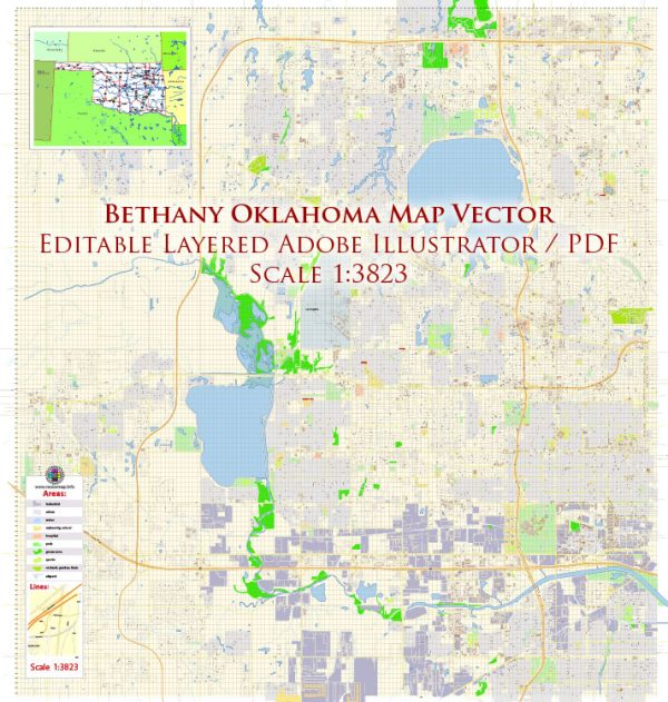
Bethany, Oklahoma, is a suburb located just northwest of Oklahoma City. Here is a general overview of urban amenities in the area:
- Parks and Recreation: Bethany offers several parks and recreational areas for residents and visitors to enjoy outdoor activities. Parks often include playgrounds, walking trails, and sports facilities.
- Shopping and Dining: The city has various shopping centers and dining options. Local businesses, as well as national chains, contribute to the retail and culinary scene in the area.
- Education: Bethany is home to Southern Nazarene University (SNU), providing educational opportunities for the community. The presence of educational institutions can contribute to a vibrant and intellectual atmosphere.
- Cultural and Community Events: The community may host events and festivals throughout the year, fostering a sense of community and providing entertainment options for residents.
- Healthcare Facilities: Access to medical facilities is crucial for any community. Bethany likely has healthcare facilities, clinics, and hospitals to serve the healthcare needs of its residents.
- Transportation: Proximity to major roads and highways facilitates easy access to and from Bethany. This is essential for commuters and for those who enjoy exploring nearby areas.
- Community Services: Police and fire services, community centers, and other public services contribute to the overall safety and well-being of residents.
- Religious Institutions: Like many communities in Oklahoma, Bethany may have a variety of religious institutions representing different denominations.
It’s important to check for the most recent information on the city’s official website or local sources to get the latest updates on amenities and services. Local community centers or chambers of commerce are also good resources for information on events and services in Bethany.


 Author: Kirill Shrayber, Ph.D. FRGS