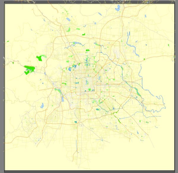
Vector Maps of the Beijing : China’s sprawling capital, has history stretching back 3 millennia. Yet it’s known as much for modern architecture as its ancient sites such as the grand Forbidden City complex, the imperial palace during the Ming and Qing dynasties. Nearby, the massive Tiananmen Square pedestrian plaza is the site of Mao Zedong’s mausoleum and the National Museum of China, displaying a vast collection of cultural relics.
Area: 16,411 km²
Elevation: 44 m
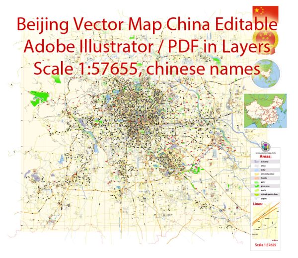
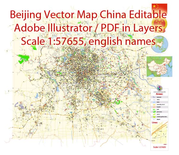
Download royalty free, editable vector maps of Beijing China in high resolution digital PDF and Adobe Illustrator format.
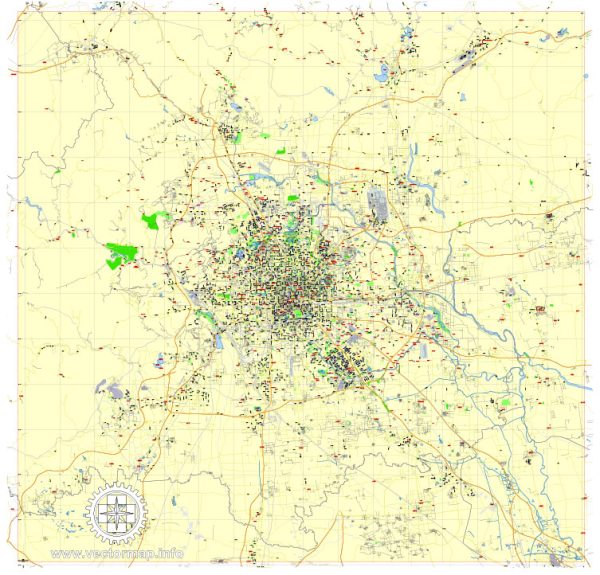
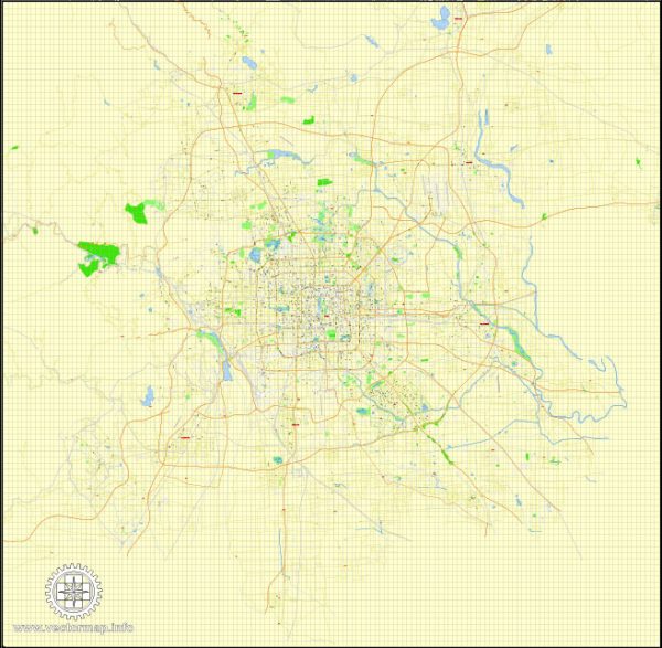
Editable Map — Beijing China
A production‑ready editable map of Beijing China built for clear labeling and predictable output across sizes. Coordinates and scales are prepared for sheet production and consistent exports. Bridges, tunnels and ferry lines are isolated so routes remain legible after recolor. Crisp vectors preserve edges at high DPI and export compactly for web delivery. District and neighborhood labels are arranged to avoid collisions around dense cores. The file accepts custom grids, legends and callouts without redrawing base content.
Use it for visitor guides, city infographics, investment decks and municipal communications. Saves prepress time by reducing manual fixes and keeping the visual system consistent. Legibility holds up on handheld leaflets and large lobby posters alike. Keeps labels readable while allowing deep customization of routes and highlights. The map integrates neatly with common DTP and GIS workflows.

 Author: Kirill Shrayber, Ph.D. FRGS