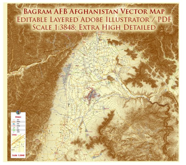
Bagram Air Base, located in Afghanistan, has served as a significant military installation for various purposes, including air operations, logistics, and intelligence. Here’s a general overview of transportation at Bagram Air Base:
Air Transportation:
- Airfield: Bagram has a well-equipped airfield capable of handling various types of military aircraft, including cargo planes, fighter jets, and reconnaissance aircraft.
- Runways: The air base has multiple runways, which are essential for accommodating different aircraft sizes and types. The length and specifications of the runways are designed to support a range of military aircraft.
- Aircraft Operations: Bagram supports a variety of aircraft operations, including air patrols, cargo transport, medical evacuation, and refueling missions.
Ground Transportation:
- Roads: The base has a network of roads for ground transportation within the facility. These roads facilitate the movement of vehicles, personnel, and equipment.
- Vehicles: Various types of military vehicles are used for transportation within the base. These may include trucks, Humvees, and other specialized vehicles for different purposes.
- Logistics: Bagram serves as a logistical hub, and transportation is crucial for moving supplies, equipment, and personnel within the base and to and from external locations.
Security Measures:
- Security Checkpoints: Given the military nature of the base, there are likely multiple security checkpoints at key entry points to control access and ensure the safety of the installation.
- Perimeter Security: The base is likely surrounded by security measures such as fences, barriers, and surveillance to protect against unauthorized access.
Airlift and Cargo Handling:
- Cargo Facilities: Bagram is equipped with facilities for handling and processing cargo. This includes warehouses, loading/unloading areas, and logistical support to manage the flow of goods.
- Airlift Operations: Bagram plays a crucial role in facilitating airlift operations, allowing the rapid deployment of troops, supplies, and equipment to various locations in the region.
Passenger Terminals:
- Terminal Facilities: There are likely terminal facilities for processing military personnel, including passenger waiting areas, security screening, and check-in facilities.
- Military Flights: Bagram supports military flights for troop movements, rotations, and deployments.
It’s important to note that the specific details of transportation infrastructure and operations at Bagram Air Base may vary based on the military’s evolving requirements and the geopolitical situation in the region. For the most up-to-date and specific information, it is recommended to refer to official military sources or recent news updates.


 Author: Kirill Shrayber, Ph.D. FRGS