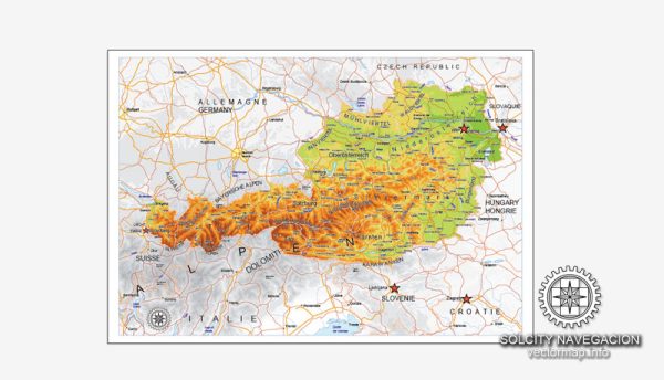
Vector Maps of the Austria, officially the Republic of Austria : landlocked country in the southern part of Central Europe, located on the Eastern Alps. It is composed of nine federated states, one of which is Vienna, Austria’s capital and largest city.
Capital: Vienna
Area:
• Total: 83,879 km2 (32,386 sq mi)
• Water: (%) 0.84
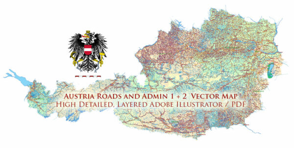
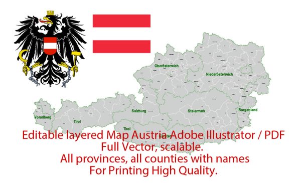
Instant download archives: royalty free, editable vector maps of Austria in high resolution digital PDF and Adobe Illustrator format.
All of our editable Austria vector maps are digital files,
which can be instantly downloaded in editable PDF or Adobe Illustrator format.
Objects on maps are usually divided into layers according to their types – lines, polygons, street names, object names (see map description!!!!)
Each of our Austria digital maps is available in Adobe Illustrator or editable PDF format, (or on request in any other known format for the same price)
which use a vector approach to display images,
you can easily enlarge any part of our maps without compromising text, line or graphic quality,
with any increase or decrease ratio.
Using a vector graphics editor such as Adobe Illustrator, CorelDraw, Inkscape, or Freehand
you can easily crop parts of the map, add custom characters, and change colors and font attributes as needed.
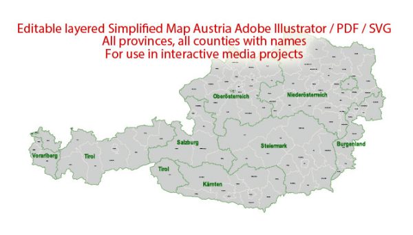
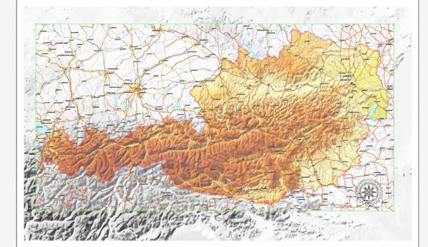
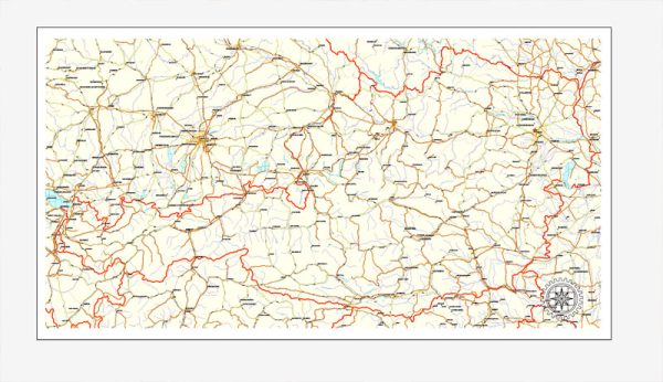
We have a variety of Austria vector maps with different levels of detail, from simple empty paths to highly detailed maps with roads and terrain layers.
Don’t see exactly what you’re looking for? Contact us to receive a special offer for an individual Austria map for your project.

 Author: Kirill Shrayber, Ph.D. FRGS