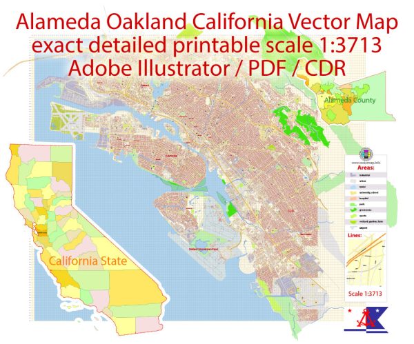
The City of Alameda, California is a unique island community of approximately 80,000 residents in the San Francisco Bay Area. With connections to the East Bay mainland by four bridges, two underwater tubes, and three ferry terminals to Oakland, San Francisco, and South San Francisco, we are within minutes of numerous cultural activities in San Francisco, Oakland, and Berkeley. People are drawn to Alameda for our safe and inviting residential communities with distinguished neighborhood schools, boutique shopping, and a broad mix of destination restaurants. Alameda takes pride in being a vibrant community with a rich maritime history and small-town charm.
Alameda was incorporated in 1854 and became a charter city in 1916 with a Council-Manager form of government with approximately 500 full-time employees. The five-member Mayor/Council serves four-year terms, staggered at even-numbered years. The City is a full-service organization providing residents with a range of municipal services including:
Police and fire protection
Construction and maintenance of streets, storm drains, and other infrastructure
A state-of-the-art library system
An active planning and building permit center
Over 400 acres of parks and recreational facilities including multi-use athletic fields, picnic sites, a skate park, a swim center, and a full-service senior center
Source: https://www.alamedaca.gov/RESIDENTS/Information-for-Residents/Love-Our-Island


 Author: Kirill Shrayber, Ph.D. FRGS