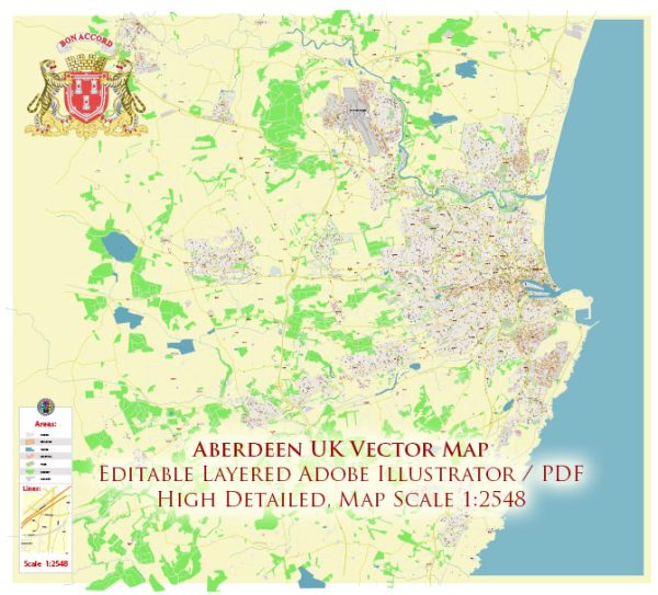
Aberdeen, located in northeast Scotland, has a rich history dating back thousands of years. The region has been inhabited since at least the Bronze Age, and there are several ancient historic objects and sites that provide insight into Aberdeen’s past. Some general information about historic objects that were present in Aberdeen at that time.
- Aberdeen Maritime Museum:
- The museum houses a variety of artifacts related to Aberdeen’s maritime history. This includes ship models, navigational instruments, and items associated with the city’s fishing and shipbuilding industries.
- Provost Skene’s House:
- This historic house, dating back to the late 16th century, is now a museum. It features a collection of period furniture, paintings, and decorative arts, offering a glimpse into daily life in Aberdeen over the centuries.
- Aberdeen Art Gallery:
- The gallery contains a diverse collection of artworks, including pieces from the Northern Renaissance, Dutch and Flemish art, and Scottish portraiture. While not exclusively ancient, it provides a broader historical and cultural context.
- St. Machar’s Cathedral:
- The cathedral, with parts dating back to the 12th century, is a significant historical site. It contains various artifacts, including medieval carvings, stained glass windows, and tombs.
- Bishop’s Palace:
- Situated near St. Machar’s Cathedral, the Bishop’s Palace is a medieval building that once housed the bishops of Aberdeen. It provides insight into the ecclesiastical history of the region.
- Old Aberdeen Town House:
- Dating back to the 18th century, the Old Town House is an architectural gem in Old Aberdeen. It has served various purposes over the years, including as a courthouse and prison.
- Stone Circles and Standing Stones:
- The surrounding countryside of Aberdeen is dotted with ancient stone circles and standing stones, such as those at Loanhead of Daviot. These Neolithic and Bronze Age structures offer a glimpse into the prehistoric past of the region.
- Dunnottar Castle:
- While not in Aberdeen itself, Dunnottar Castle, located south of the city, is a dramatic medieval fortress perched on a cliff. It has played a role in various historical events and provides stunning views of the North Sea.
These are just a few examples, and there are many more historical sites and artifacts to explore in and around Aberdeen. If you’re interested in specific time periods or types of objects, you may want to reach out to local historical organizations for more detailed information.


 Author: Kirill Shrayber, Ph.D. FRGS