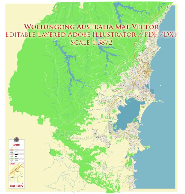
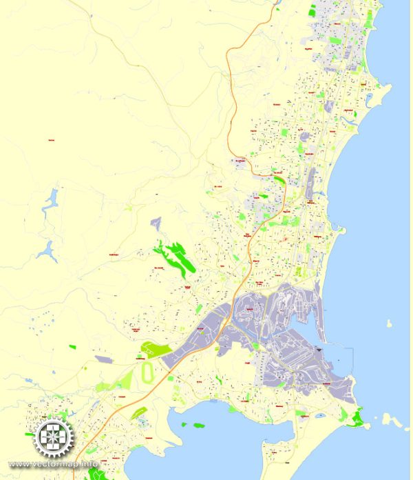
Wollongong, located on the east coast of Australia in the state of New South Wales, has a rich history of urban development that spans centuries. The region was initially inhabited by the Dharawal Aboriginal people, who lived along the coastal areas, utilizing the rich natural resources of the land and sea.
European exploration of the Wollongong area began in the early 19th century. The first European to explore the region was George Bass, who arrived in 1797. However, it wasn’t until the 1820s that European settlers began to establish themselves in the area. Timber-getters and farmers were among the first to arrive, drawn by the fertile land and the availability of timber.
The 19th century saw the growth of the coal mining industry in Wollongong, with the first coal mine established in 1849. This industry played a crucial role in the development of the region, attracting more people and contributing to the growth of infrastructure. The Illawarra Railway was opened in 1887, connecting Wollongong to Sydney and facilitating the transportation of goods and people.
Wollongong’s industrial base expanded further in the 20th century, with the establishment of the Port Kembla steelworks in 1928. The steel industry became a major economic driver for the region and attracted a diverse population of workers.
In terms of urban planning, Wollongong experienced significant development in the mid-20th century. The post-war period saw a boom in population growth, leading to increased urbanization and the expansion of residential areas. The city’s skyline began to change with the construction of high-rise buildings, reflecting the modernization and growth of Wollongong.
In recent decades, there has been a focus on sustainable urban development and revitalization efforts in Wollongong. The city has seen the development of waterfront areas, cultural precincts, and improvements to public spaces. The University of Wollongong, established in 1951, has played a crucial role in the city’s development as an education and research hub.
Wollongong continues to evolve, balancing its industrial heritage with efforts to create a vibrant, sustainable, and livable urban environment. Urban planning initiatives, environmental considerations, and community engagement play key roles in shaping the ongoing development of Wollongong as a city.


 Author: Kirill Shrayber, Ph.D. FRGS