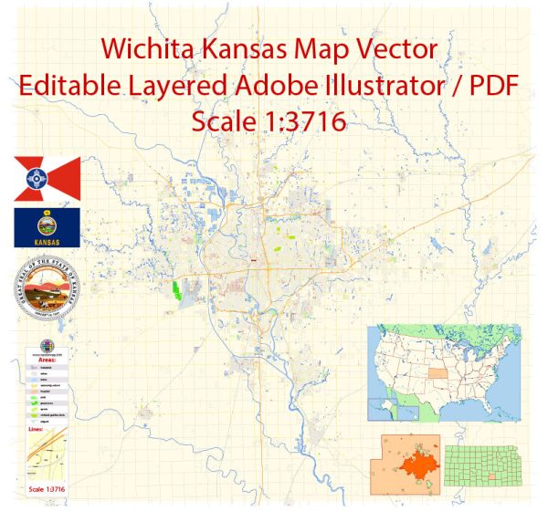
Wichita, located in south-central Kansas, has a history of urban development that reflects the broader trends of westward expansion, industrialization, and economic diversification in the United States. Here’s an overview of Wichita’s urban development history:
- Early Settlement and Trading Post (1860s): Wichita’s history begins with its establishment as a trading post in the 1860s, serving as a stop for cattle drives along the Chisholm Trail. The arrival of the railroad in the late 19th century further facilitated trade and transportation, contributing to the town’s growth.
- Cowtown Era (Late 19th Century): In the late 1800s, Wichita earned the nickname “Cowtown” due to its role as a destination for cattle ranchers and cowboys. The city’s economy thrived on the cattle trade, agriculture, and commerce. The Old Cowtown Museum preserves this era, offering a glimpse into Wichita’s Wild West past.
- Aerospace Industry and Industrialization (20th Century): Wichita experienced significant growth during the early to mid-20th century, largely driven by the aviation and aerospace industry. The city became a major center for aircraft manufacturing, earning it the title of the “Air Capital of the World.” Companies like Boeing and Cessna established a strong presence in Wichita, leading to population growth and economic prosperity.
- Post-War Suburbanization (Mid-20th Century): Like many American cities, Wichita saw suburbanization trends in the post-World War II period. The development of highways and increased automobile usage contributed to the expansion of suburban neighborhoods. This period marked a shift from the city center to outlying areas as residential and commercial spaces expanded.
- Economic Diversification (Late 20th Century): In the latter half of the 20th century, Wichita’s economy diversified beyond aerospace. The city developed a more balanced economic base, incorporating industries such as healthcare, education, and advanced manufacturing. Wichita State University played a role in fostering education and research, contributing to the city’s intellectual and economic development.
- Downtown Revitalization (Late 20th Century to Present): In recent decades, efforts have been made to revitalize downtown Wichita. Urban renewal projects, cultural initiatives, and investments in infrastructure aim to attract businesses, residents, and visitors to the city center. The Old Town district, in particular, has been transformed into a vibrant area with entertainment, dining, and cultural venues.
- Cultural and Educational Institutions: Wichita’s cultural and educational institutions have played a role in shaping its urban development. Museums, theaters, and educational facilities contribute to the city’s cultural fabric and attractiveness.
Wichita’s urban development history reflects a transition from a frontier trading post to a major industrial and aviation center, followed by suburbanization and, more recently, efforts to revitalize and diversify the city’s urban core. The city’s ability to adapt to changing economic trends has been crucial to its continued growth and development.


 Author: Kirill Shrayber, Ph.D. FRGS