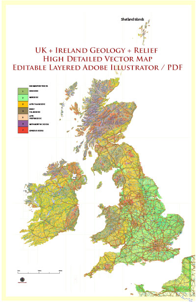
Map — Dxf Map UK Ireland Geology Relief
A production‑ready map of Dxf Map UK Ireland Geology Relief built for clear labeling and predictable output across sizes. Typography spacing is tuned for quick reading on posters, brochures and reports. Coordinates and scales are prepared for sheet production and consistent exports. Contours and landuse layers can be toggled to match tourism or planning use cases. Crisp vectors preserve edges at high DPI and export compactly for web delivery. Named layers let you restyle colors, line weights and label classes without cleanup passes.
Saves prepress time by reducing manual fixes and keeping the visual system consistent. Ideal for signage, event maps, campus leaflets and waterfront brochures. Export presets help maintain crisp strokes on both coated and uncoated paper. Keeps labels readable while allowing deep customization of routes and highlights. Color systems can be swapped quickly to match seasonal or brand variants.


 Author: Kirill Shrayber, Ph.D. FRGS