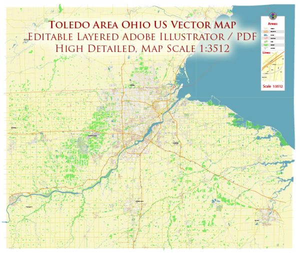
Toledo, Ohio, has a rich history of urban development that reflects the broader trends and challenges faced by many American cities. Here is an overview of the key aspects of Toledo’s urban development history:
- Early Settlement and Growth:
- Toledo’s history dates back to the early 19th century when it was initially settled in 1833. Its strategic location on the western end of Lake Erie and the Maumee River contributed to its growth as a transportation hub.
- Transportation Hub:
- The completion of the Miami and Erie Canal in the 1840s and later the Wabash and Erie Canal bolstered Toledo’s position as a transportation center, connecting the Great Lakes to the Ohio River and beyond. The arrival of the railroad in the mid-19th century further enhanced Toledo’s role in transportation.
- Industrialization:
- The late 19th and early 20th centuries witnessed rapid industrialization in Toledo. The city became known for its glass production, earning the nickname “The Glass City.” Other industries, including manufacturing and automotive production, also played a significant role in shaping Toledo’s urban landscape.
- Labor Movement and Social Changes:
- Like many industrial cities, Toledo experienced labor movements and strikes in the late 19th and early 20th centuries. These events played a role in shaping the social and economic dynamics of the city.
- Urban Renewal and Decline:
- In the mid-20th century, Toledo, like many American cities, faced challenges related to urban decay and population decline. Urban renewal projects, often controversial, were implemented to revitalize certain areas. However, some of these initiatives resulted in the displacement of communities and the loss of historic structures.
- Downtown Development:
- In recent decades, there has been a renewed focus on downtown development. Efforts have been made to revitalize the downtown area, attract businesses, and create a more vibrant urban core. This includes the development of the waterfront along the Maumee River.
- Economic Transition:
- Toledo has experienced shifts in its economic base, moving away from heavy industry to a more diversified economy. The city has sought to attract technology and healthcare industries, contributing to a more modern and dynamic urban landscape.
- Challenges and Opportunities:
- Like many cities, Toledo faces ongoing challenges such as infrastructure needs, economic disparities, and ensuring sustainable development. Balancing economic growth with preserving the city’s historical and cultural heritage remains an ongoing concern.
- Cultural and Educational Institutions:
- Toledo is home to various cultural and educational institutions, including museums, universities, and theaters. These contribute to the city’s cultural vibrancy and play a role in urban development efforts.
Understanding Toledo’s urban development history involves recognizing the interplay of industrialization, transportation, social movements, and economic shifts. Like many cities, Toledo continues to evolve, facing both challenges and opportunities as it adapts to changing economic and social landscapes.


 Author: Kirill Shrayber, Ph.D. FRGS