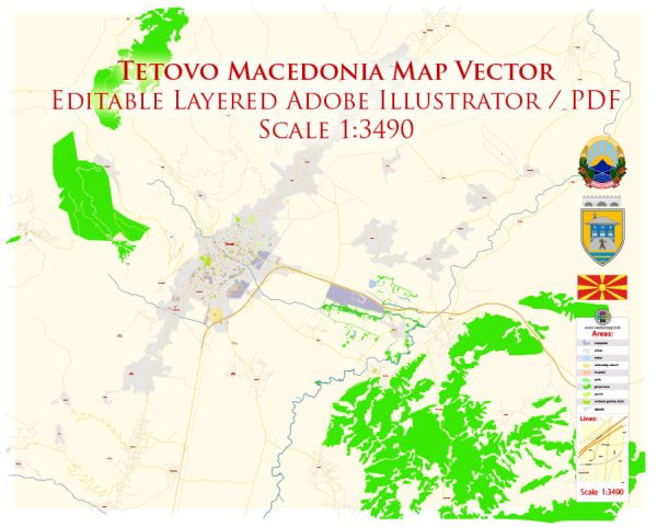
Tetovo is a city located in the northwestern part of North Macedonia. Its history of urban development is rich and diverse, reflecting the influences of various civilizations and cultures that have shaped the region over the centuries. Here is an overview of Tetovo’s history of urban development:
- Ancient Period:
- The region around Tetovo has a long history dating back to ancient times. The area was inhabited by various Illyrian and Thracian tribes before the Roman conquest.
- During the Roman period, the town was known as Oaeneum and served as an important crossroads and trading center.
- Byzantine Era:
- With the fall of the Roman Empire, the region came under Byzantine control. Tetovo continued to be a significant center during this period.
- The Byzantines constructed churches and fortifications in the area, contributing to the city’s architectural and religious heritage.
- Ottoman Rule:
- Tetovo experienced significant development during the Ottoman Empire’s rule, which began in the 14th century. The Ottomans left a lasting impact on the city’s architecture, culture, and traditions.
- The city became known for its Ottoman-style buildings, including mosques, hammams (bathhouses), and bazaars. The Painted Mosque (Šarena Džamija) is a notable example of Ottoman architecture in Tetovo.
- 19th Century:
- In the 19th century, Tetovo, like many other cities in the Balkans, played a role in the struggle for national independence and identity. The city witnessed social and political changes during this period.
- 20th Century:
- After the Balkan Wars and World War I, Tetovo became part of the Kingdom of Yugoslavia. The city continued to develop, with the establishment of modern institutions and infrastructure.
- Contemporary Period:
- In the post-World War II period, Tetovo became part of the Socialist Federal Republic of Yugoslavia, and later, the independent Republic of Macedonia.
- Modern urban development in Tetovo has seen a mix of traditional and contemporary influences. The city has grown, and new infrastructure, educational institutions, and cultural facilities have been established.
- Ethnic and Cultural Diversity:
- Tetovo is known for its diverse population, including Albanians, Macedonians, and other ethnic groups. This diversity is reflected in the city’s culture, cuisine, and architecture.
- Education and Culture:
- Tetovo is home to South East European University, a significant institution for education and research in the region. The city also has museums, theaters, and cultural events that contribute to its vibrant cultural scene.
In summary, Tetovo’s history of urban development is a mosaic of influences from ancient civilizations, Byzantine rule, Ottoman architecture, and the city’s role in the modern era of the Balkans. Today, Tetovo stands as a city with a rich cultural heritage and a blend of historical and contemporary elements.


 Author: Kirill Shrayber, Ph.D. FRGS