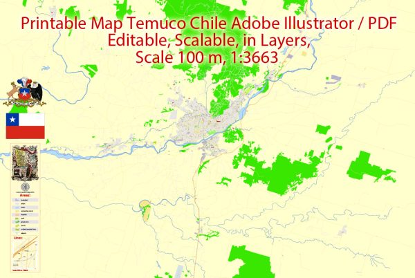
Temuco, located in the Araucanía Region of Chile, has a rich history of urban development that reflects the region’s cultural and economic evolution. The city’s growth and transformation can be traced through various historical periods.
- Indigenous Presence: Temuco’s history predates the arrival of the Spanish. The area was originally inhabited by the indigenous Mapuche people. The city’s name itself is derived from Mapudungun, the language of the Mapuche, and means “temu water” or “temu muddy,” referring to the local Temu tree and the Cautín River.
- Spanish Colonization: With the arrival of the Spanish colonizers in the 16th century, the region underwent significant changes. The Spanish established settlements, and Temuco began to emerge as a focal point for trade and communication between different parts of the colony.
- 19th Century and the Occupation of Araucanía: In the 19th century, the Chilean government sought to integrate the Mapuche territory into the national framework. This led to the Occupation of Araucanía, a process that involved the establishment of forts and the gradual influx of European settlers. Temuco played a strategic role during this period, serving as a military and administrative center.
- Railroad Development: The construction of the railroad in the late 19th century further boosted Temuco’s importance. The railroad facilitated transportation of goods and people, encouraging economic activities and urban growth. The city became a key hub for the export of agricultural products, particularly timber.
- 20th Century Industrialization: The 20th century saw further industrialization and urbanization. Temuco expanded as new industries emerged, and infrastructure development continued. The city diversified its economy beyond agriculture, incorporating manufacturing and services.
- Cultural and Educational Hub: Over the years, Temuco has developed into a cultural and educational hub in the region. It is home to universities, museums, and cultural institutions that contribute to the city’s vibrancy.
- Modern Urban Planning: In recent decades, Temuco has undergone modern urban planning efforts. The city has seen the development of new residential areas, commercial districts, and improved infrastructure. Efforts have also been made to preserve and showcase the cultural heritage of the region.
- Population Growth and Challenges: Temuco has experienced significant population growth, leading to challenges related to urbanization, such as traffic congestion and housing demands. The city continues to address these issues through urban planning initiatives and sustainable development projects.
Overall, Temuco’s history of urban development reflects the intersection of indigenous cultures, Spanish colonization, economic changes, and modern urban planning, shaping it into the dynamic city it is today.


 Author: Kirill Shrayber, Ph.D. FRGS