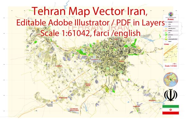
Tehran, the capital of Iran, has a rich history of urban development that spans thousands of years. The city’s strategic location at the foot of the Alborz Mountains and its proximity to major trade routes have contributed to its growth and significance over the centuries. Here is a brief overview of Tehran’s history of urban development:
- Ancient Period:
- The area around present-day Tehran has been inhabited since ancient times, with evidence of human settlement dating back to the Neolithic era.
- The city is believed to have been a village in the 9th century, and it gradually gained importance due to its location on the Silk Road trade route.
- Medieval Period:
- In the 13th century, Tehran became a part of the Mongol Empire and later the Timurid Empire.
- Shah Tahmasp I, a Safavid ruler, constructed a mud fort in Tehran in the 16th century. However, it was during the reign of Shah Abbas I in the late 16th century that Tehran began to flourish as a significant commercial and administrative center.
- Qajar Period:
- Tehran was chosen as the capital of the Qajar dynasty in the late 18th century. Agha Mohammad Khan Qajar, the founder of the dynasty, established his capital in Tehran in 1796.
- During the Qajar era, Tehran underwent significant urban development, with the construction of palaces, government buildings, and city walls.
- Modernization in the 20th Century:
- In the early 20th century, Tehran saw increased modernization efforts under the rule of Reza Shah Pahlavi, who initiated various infrastructure projects and urban planning initiatives.
- The city expanded with the construction of roads, schools, and public buildings. The traditional bazaar areas coexisted with more modern neighborhoods.
- Post-World War II Period:
- After World War II, Tehran experienced rapid population growth and urbanization. The influx of rural migrants contributed to the expansion of the city.
- The 1960s and 1970s saw further modernization, with the development of high-rise buildings and a growing emphasis on infrastructure projects.
- Islamic Revolution and Contemporary Period:
- The Islamic Revolution of 1979 brought about significant changes in the political and social landscape of Tehran.
- The city continued to grow and modernize in the post-revolution period, with ongoing challenges related to infrastructure, pollution, and traffic congestion.
- Contemporary Challenges and Developments:
- In recent years, Tehran has faced challenges related to air pollution, traffic congestion, and the need for sustainable urban development.
- Efforts have been made to address these issues, including the development of public transportation, green spaces, and the preservation of historical sites.
Tehran’s history reflects a dynamic interplay of tradition and modernity, and the city continues to evolve as a hub of culture, commerce, and political activity in the region.


 Author: Kirill Shrayber, Ph.D.