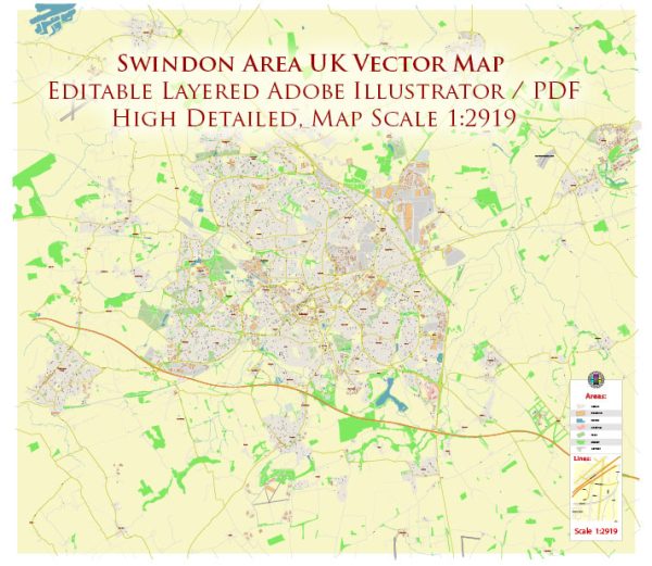
Swindon, located in the South West of England, has a rich history of urban development that spans several centuries. Here’s a brief overview:
- Early History: The area that is now Swindon has a history dating back to the Saxon era. The name “Swindon” is believed to be derived from the Old English words “swine” (pig) and “dun” (hill), indicating a hill for pigs. In medieval times, Swindon was a market town and had a small population.
- Industrial Revolution: Swindon’s major transformation occurred during the 19th century with the advent of the Industrial Revolution. The opening of the Great Western Railway (GWR) works in 1841 played a pivotal role in shaping Swindon’s destiny. The railway works quickly became one of the largest employers in the region, attracting a significant influx of people to the town.
- Railway Town: Swindon became synonymous with the railway industry, and the GWR works were a major employer for much of the 19th and 20th centuries. The town expanded to accommodate the growing workforce, and a distinct Railway Village was developed to provide housing for the railway workers. Designed by Isambard Kingdom Brunel, the Railway Village is known for its unique architecture and layout.
- 20th Century: Swindon continued to grow in the 20th century, with the railway industry remaining a key economic driver. In the post-World War II period, the town saw further expansion and modernization. New housing developments were built to accommodate the increasing population, and the town continued to diversify economically.
- Economic Diversification: As the railway industry declined in the latter half of the 20th century, Swindon underwent economic diversification. The town attracted new industries, including manufacturing, technology, and telecommunications. The creation of business parks and industrial estates contributed to Swindon’s status as a regional economic hub.
- Population Growth and Modernization: Swindon’s population continued to grow, and the town underwent modernization and infrastructure development. The construction of shopping centers, cultural facilities, and residential areas reflected the changing needs of the community.
- Transportation: Swindon’s strategic location at the intersection of major road and rail routes contributed to its development as a transportation hub. The M4 motorway, which runs to the south of the town, further enhanced its connectivity.
- Contemporary Swindon: In recent years, Swindon has faced challenges such as urban sprawl and the need for sustainable development. Efforts have been made to revitalize the town center and enhance its cultural offerings.
Overall, Swindon’s history of urban development is closely tied to its industrial heritage, particularly the railway industry. The town has evolved over time, adapting to economic changes and embracing new opportunities for growth and development.


 Author: Kirill Shrayber, Ph.D. FRGS