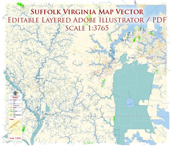
Suffolk, Virginia, has a rich history of urban development that reflects the broader patterns of settlement and growth in the United States. Here’s an overview of the key phases in Suffolk’s urban development:
- Colonial Era (1600s-1700s): The area that would become Suffolk was originally inhabited by Native American tribes. English colonists settled in the region in the early 17th century, establishing farms and plantations. The Nansemond Indian Tribe played a significant role in the early history of the area. The town of Suffolk was originally established in 1742 as a port and became a major center for commerce and trade.
- Antebellum and Civil War Period (1800s): Suffolk’s economy grew during the antebellum period, driven by agriculture, particularly the cultivation of peanuts and tobacco. The Dismal Swamp Canal, completed in 1805, facilitated transportation and trade in the region. During the Civil War, Suffolk was a strategic location for both Union and Confederate forces, and the town suffered damage as a result of battles and military occupation.
- Post-Civil War Reconstruction (Late 1800s): After the Civil War, Suffolk experienced a period of reconstruction and recovery. The town’s economy diversified, with continued growth in agriculture and the emergence of new industries. Railroads also played a crucial role in connecting Suffolk to broader markets, contributing to economic development.
- Early to Mid-20th Century: Suffolk continued to evolve as a regional hub for commerce and industry in the early to mid-20th century. The development of transportation infrastructure, including highways and bridges, further connected Suffolk to surrounding areas. The growth of manufacturing and the presence of military installations in the region, such as the Nansemond Ordnance Depot during World War II, brought economic opportunities to the city.
- Late 20th Century to Present: In the latter half of the 20th century, suburbanization and population growth impacted Suffolk’s urban development. The city experienced residential and commercial expansion, with the development of suburban neighborhoods and shopping centers. The decline of traditional industries, such as textiles and manufacturing, led to the city’s efforts to diversify its economy.
- 21st Century: Suffolk has continued to grow and modernize in the 21st century. The city has focused on attracting new businesses, promoting tourism, and investing in infrastructure and amenities. Downtown revitalization projects have aimed to preserve historic architecture while creating vibrant urban spaces. The growth of technology and service industries has contributed to Suffolk’s economic development in recent years.
Overall, Suffolk’s history of urban development reflects the broader trends of economic, social, and technological changes that have shaped the United States over the centuries. The city continues to evolve, balancing the preservation of its historical character with the need for modernization and growth.


 Author: Kirill Shrayber, Ph.D. FRGS