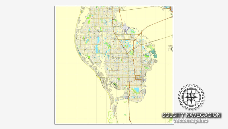
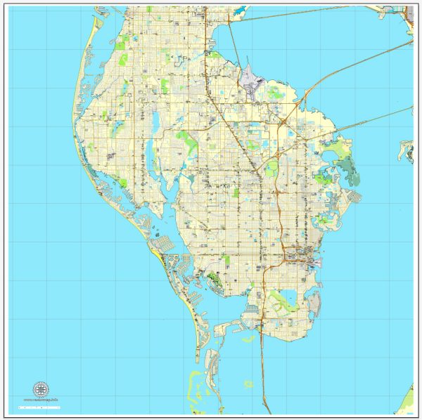
St. Petersburg, Florida, has a rich history of urban development that spans over a century. The city’s growth and transformation reflect the broader patterns of Florida’s development, influenced by factors such as tourism, real estate, and regional economic changes. Here is a brief overview of the history of urban development in St. Petersburg:
- Early Years (Late 19th Century):
- St. Petersburg was founded in 1888 by John C. Williams, who purchased land on the Pinellas Peninsula with the vision of creating a grand waterfront city.
- The arrival of the Orange Belt Railway in 1888 and the extension of the railroad to St. Petersburg in 1891 played a crucial role in the city’s early growth, facilitating transportation and attracting settlers.
- Boom Years (1920s):
- Like many Florida cities, St. Petersburg experienced a real estate boom in the 1920s. The city’s population soared as people from northern states flocked to Florida for the promise of warm weather and economic opportunities.
- The city’s downtown area saw the construction of several grand hotels, including the Vinoy Park Hotel, which became a symbol of the city’s prosperity during this era.
- Great Depression and World War II (1930s-1940s):
- The Great Depression took a toll on St. Petersburg’s economy, leading to a slowdown in development. However, the city’s strategic location and military significance during World War II brought some economic stability.
- Post-War Era and Mid-20th Century:
- After World War II, St. Petersburg experienced a post-war boom, with returning veterans and the general population seeking new homes. Suburbanization became a trend, and the city expanded outward.
- The construction of the Sunshine Skyway Bridge in 1954 improved transportation connectivity between St. Petersburg and surrounding areas.
- Tourism and Retirement Destination (1960s-1980s):
- St. Petersburg became known as a popular destination for retirees and tourists during the mid-20th century. The city’s sunny climate, beaches, and cultural attractions contributed to its appeal.
- The establishment of cultural institutions, such as the Salvador Dali Museum in 1982, added to St. Petersburg’s identity as a cultural hub.
- Contemporary Urban Development (1990s-Present):
- In recent decades, St. Petersburg has undergone revitalization efforts, particularly in its downtown area. The waterfront has been redeveloped, featuring parks, museums, and waterfront amenities.
- The city has seen the construction of modern condominiums, mixed-use developments, and the expansion of cultural and entertainment facilities.
- St. Petersburg has become known for its vibrant arts scene, diverse culinary offerings, and a more walkable and bike-friendly urban environment.
Throughout its history, St. Petersburg has evolved from a small pioneer town to a bustling city with a diverse economy, cultural attractions, and a focus on sustainable urban development. The city’s history is reflected in its architecture, neighborhoods, and vibrant community life.


 Author: Kirill Shrayber, Ph.D. FRGS