Singapore’s history of urban development is a fascinating journey that has transformed the city-state from a colonial trading port to a global hub of finance, technology, and commerce. The key phases of Singapore’s urban development include:
- Colonial Era (1819-1959):
- Founding as a Trading Post: Sir Stamford Raffles established Singapore as a British trading post in 1819, strategically located at the crossroads of major sea routes.
- Development of Infrastructure: The British colonial government developed key infrastructure such as roads, ports, and public buildings.
- Post-Independence (1965 onwards):
- Separation from Malaysia: Singapore gained independence in 1965 after separating from Malaysia. This marked a crucial turning point, as the city-state had to chart its own course without the support of the larger Malaysian federation.
- Nation-Building and Housing Policies: The government, led by the People’s Action Party (PAP) under Prime Minister Lee Kuan Yew, implemented ambitious nation-building policies. The Housing and Development Board (HDB) was established to address housing shortages, leading to the construction of public housing estates.
- Industrialization and Urban Planning (1960s-1980s):
- Economic Development: Singapore pursued industrialization and economic development strategies, transforming from a labor-intensive economy to one based on technology and manufacturing.
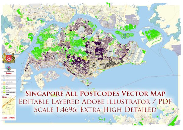
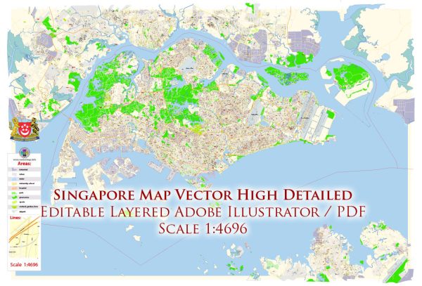
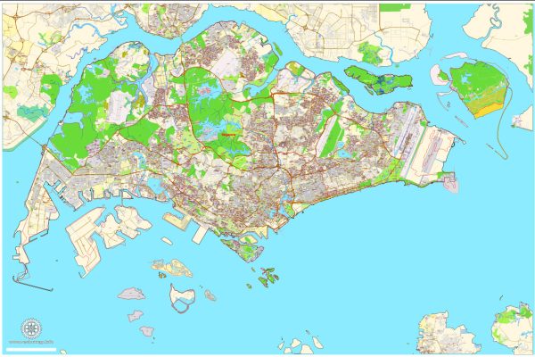
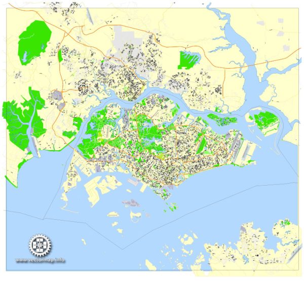
- Urban Planning: The Urban Redevelopment Authority (URA) was formed in 1974 to oversee comprehensive urban planning. The concept of planning for a “Garden City” was introduced, incorporating green spaces and parks into the urban landscape.
- Public Housing: HDB continued to play a crucial role in providing affordable and high-quality public housing. The development of satellite towns, such as Jurong and Woodlands, helped decentralize the population and economic activities.
- Modernization and Globalization (1990s-Present):
- Financial Hub: Singapore evolved into a global financial hub, attracting multinational corporations and financial institutions. The Marina Bay Financial Centre and other developments symbolize this transformation.
- Smart City Initiatives: The government embraced technology and innovation, implementing smart city initiatives to enhance efficiency and sustainability. This includes the development of smart infrastructure, such as the Smart Nation initiative.
- Integrated Resorts and Tourism: To diversify the economy, integrated resorts like Marina Bay Sands and Resorts World Sentosa were developed, contributing to the growth of the tourism sector.
- Sustainable Development and Future Challenges:
- Sustainability: Singapore has increasingly focused on sustainability, with initiatives like the Sustainable Singapore Blueprint and efforts to enhance green spaces.
- Challenges: Despite its success, Singapore faces challenges such as land scarcity, an aging population, and the need to balance economic growth with environmental conservation.
Singapore’s urban development is a testament to effective governance, long-term planning, and adaptability to changing global economic dynamics. The city-state’s ability to reinvent itself has positioned it as a model for successful urban planning and development.

 Author: Kirill Shrayber, Ph.D. FRGS