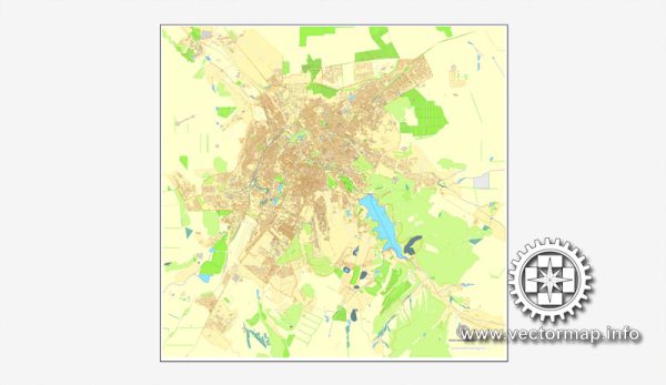
Simferopol is the capital and largest city of the Republic of Crimea, a region that has been a subject of geopolitical controversy between Ukraine and Russia. Crimea is internationally recognized as part of Ukraine, but it has been under de facto control of Russia since 2014.
Now, let’s delve into the history of urban development in Simferopol:
- Ancient and Medieval Periods: Simferopol has a rich history dating back to ancient times. The area was initially settled by the Scythians and later became part of the Bosporan Kingdom. In the medieval period, it was part of the Khazarian Khaganate and later the Crimean Khanate, a state ruled by the Crimean Tatars.
- Russian Empire Era: In the late 18th century, the Russian Empire annexed Crimea, and Simferopol became a significant administrative center. The city began to develop as an important trade and cultural hub.
- Soviet Period: During the Soviet era, Simferopol continued to grow and modernize. It became the capital of the Crimean Autonomous Soviet Socialist Republic within the Russian Soviet Federative Socialist Republic. The city saw industrial development and the establishment of educational and cultural institutions.
- World War II: Simferopol played a role in World War II as it was occupied by German and Romanian forces from 1941 to 1944. The city suffered significant damage during this time.
- Post-Soviet Period: After the dissolution of the Soviet Union in 1991, Crimea became part of independent Ukraine. Simferopol became the capital of the Autonomous Republic of Crimea within Ukraine. The city continued to develop economically and culturally.
- Recent Developments: The political situation in the region changed dramatically in 2014 when Russia annexed Crimea following a controversial referendum. This move led to significant geopolitical tensions between Russia and Ukraine. The international community widely condemned the annexation.
- Contemporary Simferopol: In recent years, Simferopol has experienced changes in its infrastructure and urban development. However, the political situation and the annexation have had a profound impact on the city and the entire region.
Due to the political complexities, it’s essential to consider various perspectives when studying the history and development of Simferopol. Keep in mind that the information provided here might not reflect the current situation, and it’s advisable to consult the latest sources for the most accurate and up-to-date information.


 Author: Kirill Shrayber, Ph.D. FRGS