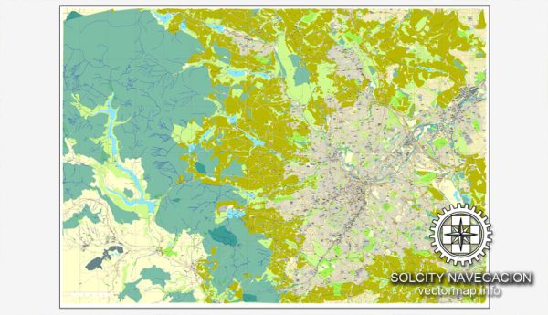
The history of urban development in Sheffield, UK, is characterized by its transformation from a small medieval market town into a thriving industrial city, and later, a post-industrial hub with a focus on education, culture, and green spaces. Here’s an overview of key phases in Sheffield’s urban development:
- Medieval Period (before 17th century):
- Sheffield’s origins can be traced back to the medieval period when it was a small settlement known for its market.
- The town grew around the convergence of several rivers, providing water resources for various industries.
- Industrial Revolution (18th to 19th centuries):
- Sheffield became a major player in the Industrial Revolution, particularly known for its steel and cutlery production.
- The introduction of water-powered mills and advancements in metallurgy led to a rapid expansion of industry.
- The population grew significantly as people migrated to the city in search of employment in the booming steel industry.
- Expansion and Victorian Era (19th century):
- The city experienced rapid urbanization, and Victorian architecture shaped much of its landscape.
- Housing for the growing population was often cramped and lacked proper sanitation, reflecting the challenges of urbanization during this period.
- Post-World War II Reconstruction (20th century):
- Sheffield, like many industrial cities in the UK, suffered significant damage during World War II.
- The post-war period saw efforts to rebuild and modernize the city, with new housing developments and infrastructure projects.
- Deindustrialization and Regeneration (late 20th century to present):
- The latter half of the 20th century witnessed the decline of traditional heavy industries in Sheffield, leading to economic challenges and unemployment.
- Efforts were made to diversify the economy, focusing on education, technology, and the service sector.
- The regeneration of former industrial sites, such as Kelham Island, transformed them into residential and cultural spaces.
- Cultural Renaissance and Green Spaces:
- Sheffield has undergone a cultural renaissance, emphasizing its vibrant arts and music scene.
- The city is known for its commitment to green spaces, with numerous parks and outdoor areas providing recreational opportunities for residents.
- Education and Innovation:
- Sheffield is home to two major universities, the University of Sheffield and Sheffield Hallam University, contributing to the city’s reputation as an educational hub.
- The emphasis on education has also fueled innovation and research, contributing to the city’s economic redevelopment.
- Contemporary Urban Challenges:
- Like many cities, Sheffield faces contemporary urban challenges, including issues related to housing, transportation, and sustainability.
- Ongoing urban development projects aim to address these challenges and continue to shape Sheffield’s future.
Sheffield’s history of urban development reflects its resilience in adapting to changing economic landscapes and a commitment to preserving its cultural and natural heritage.


 Author: Kirill Shrayber, Ph.D. FRGS