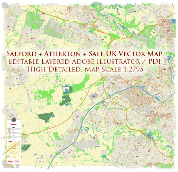
The history of urban development in the Salford area of the United Kingdom is marked by a series of transformations and changes over the centuries. Salford is a city in Greater Manchester, located to the west of Manchester city center. Here is a brief overview of the history of urban development in the Salford area:
- Early History: The area has a history dating back to the medieval period, with the Domesday Book of 1086 recording a settlement known as “Salford.” At that time, Salford was a small market town and an important crossing point over the River Irwell.
- Industrial Revolution: The 18th and 19th centuries saw significant industrialization in the Salford area, much like the rest of Manchester. The construction of the Bridgewater Canal in 1761 facilitated the transportation of coal and raw materials, contributing to the growth of industry. Mills, warehouses, and factories were built along the canals, and the population increased as people migrated to the area in search of work.
- Textile Industry: Salford, like Manchester, became a hub for the textile industry during the Industrial Revolution. Cotton mills and factories emerged, and the city played a crucial role in the production of textiles, particularly cotton.
- Urbanization: The rapid industrialization led to a significant increase in population, and urbanization accelerated. The construction of terraced houses to accommodate the growing workforce became common, and the cityscape began to change with the emergence of factories and industrial infrastructure.
- Transportation: The transportation network continued to evolve with the introduction of railways in the 19th century. This further connected Salford to other industrial centers and facilitated the movement of goods and people.
- Post-Industrial Decline: Like many industrial cities, Salford experienced economic decline in the mid-20th century. The textile industry declined, and many factories and mills closed down. This period saw a shift away from manufacturing toward a more diverse economic base.
- Regeneration and Redevelopment: In recent decades, there has been a concerted effort to regenerate and redevelop parts of Salford. The Salford Quays area, once a bustling docklands, has undergone extensive redevelopment with the construction of modern apartments, offices, and cultural facilities. MediaCityUK, a major media hub, is also located in Salford Quays.
- Modern Urban Landscape: Today, Salford presents a mix of historical industrial architecture and contemporary developments. The city continues to evolve, with ongoing urban regeneration projects aimed at revitalizing neighborhoods and creating modern, sustainable urban spaces.
The history of urban development in Salford reflects the broader patterns of industrialization, decline, and regeneration seen in many post-industrial cities in the United Kingdom. The city’s narrative is one of adaptation and transformation in response to changing economic and social dynamics.


 Author: Kirill Shrayber, Ph.D. FRGS