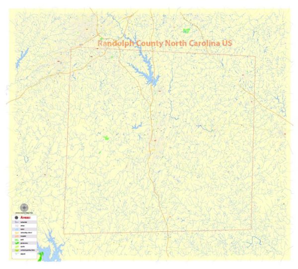
Randolph County, located in the central part of North Carolina, has a rich history of urban development that reflects the broader trends of the region and the United States. While the county is known for its rural character, there are several urban areas that have played a significant role in its development.
- Early Settlement and Agriculture (18th Century): Randolph County was established in 1779 and named after Peyton Randolph, the first president of the Continental Congress. Like much of North Carolina, the early settlement in the county was primarily agrarian, with farming communities and plantations.
- Transportation and Commerce (19th Century): The 19th century brought significant changes to Randolph County, largely driven by improvements in transportation. The construction of railroads in the mid-1800s, such as the North Carolina Railroad, played a crucial role in connecting the county to larger economic centers. This facilitated the movement of goods and people, stimulating economic development and leading to the growth of urban centers along the rail lines.
- Industrialization (Late 19th to Early 20th Century): As the nation underwent industrialization, Randolph County experienced a shift from agrarian to more industrial pursuits. Textile mills, furniture factories, and other industries began to emerge. The town of Asheboro, the county seat, became a hub for industrial activity, attracting workers and contributing to urbanization.
- Textile Industry Boom: The textile industry, in particular, played a significant role in the urban development of Randolph County. Cities like Asheboro saw the establishment of textile mills, drawing in a workforce and contributing to the growth of urban areas.
- Post-World War II Period: After World War II, there was a nationwide trend of suburbanization and the decline of traditional manufacturing industries. Randolph County, like many other places, experienced changes in its urban landscape. The growth of suburbs and the decline of some industrial sectors influenced the development of urban areas.
- Diversification and Modernization (Late 20th Century to Present): In recent decades, Randolph County has diversified its economic base. While agriculture and manufacturing continue to be important, the county has also seen growth in sectors like healthcare, education, and technology. Asheboro, in particular, has evolved into a diverse urban center with a mix of industries.
- Cultural and Community Development: Beyond economic factors, the urban development of Randolph County has also been shaped by cultural and community influences. The county has worked to preserve its historical heritage, with efforts to maintain and restore historic buildings and landmarks.
Overall, the history of urban development in Randolph County reflects the broader patterns of rural-to-urban transition, industrialization, and economic diversification that have characterized many areas in the United States. Today, Randolph County continues to balance its rural heritage with ongoing urban and economic development initiatives.


 Author: Kirill Shrayber, Ph.D. FRGS