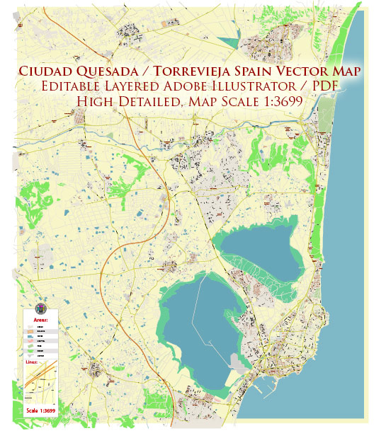
Torrevieja is a coastal city and municipality located on the Costa Blanca in the province of Alicante, Spain. Historically, the area has been inhabited for centuries, with evidence of ancient settlements dating back to the Bronze Age. Torrevieja’s modern development, however, is more closely tied to the salt industry.
In the 19th century, the salt production industry played a crucial role in the economic development of Torrevieja. The exploitation of local salt lakes contributed to the growth of the town. The salt industry attracted workers and led to the construction of infrastructure such as salt warehouses and workers’ housing.
The urban development of Torrevieja, including areas like Quesada, likely experienced significant growth during the tourism boom of the mid-20th century. The region became a popular destination for tourists, and as a result, there was increased demand for housing, services, and amenities. This period of growth likely saw the expansion of residential areas, the construction of hotels, and the development of infrastructure to support the burgeoning tourism industry.
In recent decades, Torrevieja and its surrounding areas have continued to evolve as tourism remains a significant economic driver. Additionally, the region has attracted a number of expatriates, including retirees and individuals seeking a Mediterranean lifestyle.
For a more detailed and up-to-date history of the urban development in Quesada and Torrevieja, you may want to consult local historical archives, municipal records, or historical publications specific to the region. Local government offices, historical societies, or libraries may be valuable resources for obtaining detailed information on the urban development of Quesada in Torrevieja.


 Author: Kirill Shrayber, Ph.D. FRGS