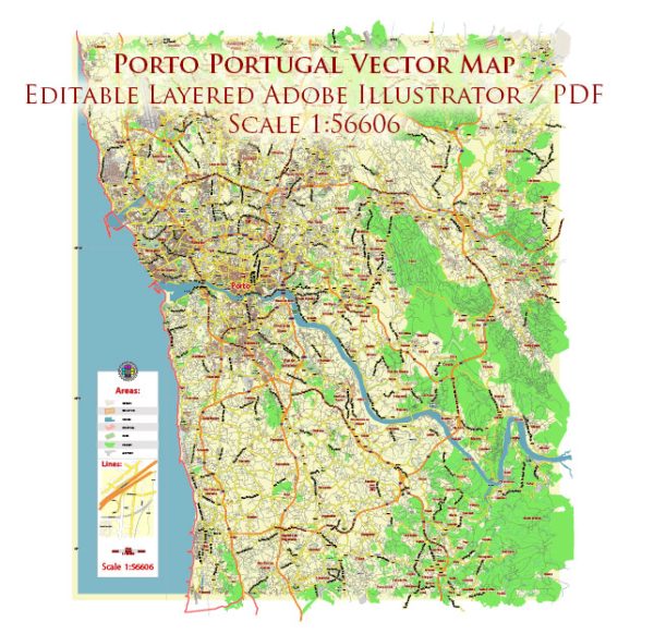
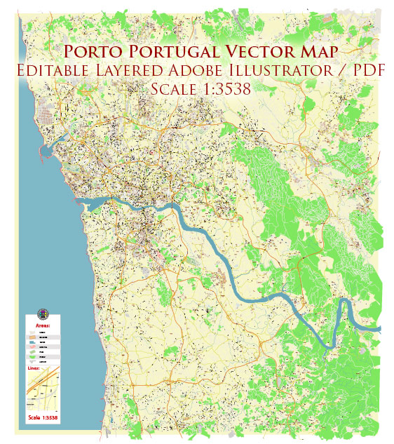
Porto, located in northwest Portugal, has a rich history of urban development that spans centuries. The city’s history is deeply intertwined with its geographical location, economic activities, and cultural influences. Here is a brief overview of the history of urban development in Porto:
- Roman Period (c. 1st century BC – 5th century AD): Porto, originally known as Portus Cale, was established during the Roman era as a commercial and strategic port along the Douro River. The city served as a significant trade center for goods flowing between the Roman Empire and the Iberian Peninsula.
- Visigothic and Moorish Rule (5th – 11th centuries): With the decline of the Roman Empire, Porto experienced periods of Visigothic and Moorish rule. During this time, the city faced economic and cultural challenges, but it continued to be a crucial center for trade.
- Christian Reconquest (11th century): The Christian Reconquest led to the establishment of the County of Portugal, and Porto regained importance as a commercial hub. The city’s population grew, and its urban structure began to evolve.
- Medieval and Renaissance Period (12th – 16th centuries): Porto’s urban development flourished during the medieval and Renaissance periods. The city walls were expanded, and notable landmarks, such as the Porto Cathedral (Sé do Porto), were constructed. Trade and maritime activities continued to drive the city’s growth.
- Age of Discoveries (15th – 17th centuries): Porto played a crucial role in the Age of Discoveries, as Portuguese explorers departed from its shores. The wealth generated from overseas trade contributed to the city’s prosperity, leading to the construction of opulent buildings and the expansion of the urban area.
- 18th and 19th centuries: The 18th century saw the development of Porto as an industrial center, with the growth of textile and wine industries. The city’s economic importance continued to rise during the 19th century. The construction of bridges and the opening of the first railway line (1837) further connected Porto to the surrounding regions.
- 20th century: Porto faced challenges during the 20th century, including political instability and economic hardships. However, the city underwent urban renewal projects, and its historic center was designated a UNESCO World Heritage Site in 1996. The restoration of key landmarks, such as the Ribeira district, contributed to the preservation of Porto’s cultural heritage.
- Contemporary Period: In recent decades, Porto has experienced a revitalization of its urban spaces, attracting tourists and investment. The city has become known for its blend of historic and contemporary architecture, vibrant cultural scene, and the redevelopment of waterfront areas.
Porto’s history of urban development reflects its resilience, adaptability, and the influences of various cultures and economic activities over the centuries. The city continues to evolve while preserving its rich historical and architectural heritage.


 Author: Kirill Shrayber, Ph.D. FRGS