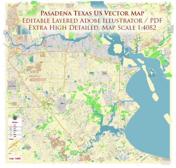
Pasadena, Texas, is a city located in Harris County, within the Houston-The Woodlands-Sugar Land metropolitan area. The history of Pasadena’s urban development reflects the broader patterns of growth and change in the region.
- Early Settlement and Agriculture (19th Century): Pasadena’s history dates back to the mid-19th century when it was originally part of a Mexican land grant. The area began to see settlement in the late 1800s, with the development of agriculture as a primary economic activity. Farms and ranches dominated the landscape, and the region remained primarily rural.
- Discovery of Oil (Early 20th Century): Pasadena’s transformation into an urban center began with the discovery of oil in the early 20th century. The 1920s saw a boom in oil-related industries, leading to rapid industrialization. The city’s economy became closely tied to the petrochemical industry, with the establishment of refineries and chemical plants along the Houston Ship Channel.
- World War II and Industrial Growth: During World War II, Pasadena experienced significant industrial growth due to its strategic location and the demand for petrochemical products. The ship channel became a vital transportation route for military supplies, and the city’s industrial base expanded to support the war effort.
- Post-War Boom and Suburbanization: After World War II, Pasadena, like many American cities, experienced a post-war economic boom. The G.I. Bill and other factors contributed to a population increase as veterans and their families moved to the area. Suburbanization became a prominent trend, and Pasadena saw residential developments and the establishment of suburban communities.
- Economic Diversification: While the petrochemical industry remained a significant economic driver, Pasadena sought to diversify its economy over the years. The city attracted businesses in various sectors, including manufacturing, healthcare, and technology, contributing to a more diversified economic base.
- Infrastructure Development: The city invested in infrastructure to accommodate its growing population and expanding industries. This included the development of schools, healthcare facilities, and transportation networks. Highways and freeways connected Pasadena to the broader Houston metropolitan area.
- Cultural and Community Development: As Pasadena grew, cultural and community institutions also developed. The city established parks, recreational facilities, and cultural venues to enhance the quality of life for residents. Schools, churches, and community organizations played a vital role in shaping the city’s identity.
- Challenges and Resilience: Like many urban areas, Pasadena faced challenges such as urban sprawl, traffic congestion, and environmental concerns associated with industrial activities. However, the city has demonstrated resilience and adaptability in addressing these issues through planning initiatives and community engagement.
The history of Pasadena’s urban development is closely intertwined with the industrialization of the Houston Ship Channel and the economic opportunities that arose from the oil and petrochemical industries. Over the years, the city has evolved into a diverse and vibrant community, reflecting the broader trends of urban development in the United States.


 Author: Kirill Shrayber, Ph.D. FRGS