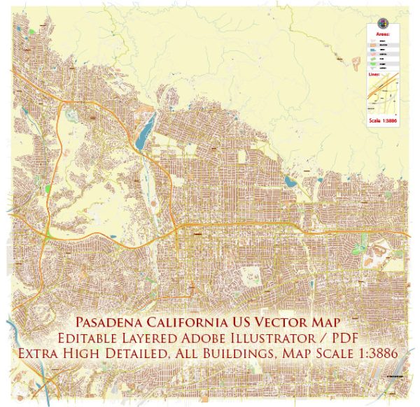
Pasadena, California, has a rich history of urban development that spans more than a century. Here is a brief overview of the key points in its urban development:
- Early Settlement (Late 19th Century):
- Pasadena was originally inhabited by the Hahamog’na tribe of Native Americans.
- The area attracted attention in the late 19th century as a winter resort for wealthy Easterners seeking a more temperate climate.
- The Green City:
- Pasadena was known for its lush greenery, earning it the nickname “The City of Roses” due to the abundance of rose gardens.
- The construction of grand Victorian-style homes and estates contributed to the city’s reputation as an upscale residential community.
- Role in the Arts and Crafts Movement:
- Pasadena played a significant role in the Arts and Crafts Movement in the early 20th century. The movement emphasized craftsmanship and traditional craftsmanship, and Pasadena became a hub for architects and artists promoting these principles.
- The Tournament of Roses Parade:
- The Tournament of Roses Parade, first held in 1890, became an annual tradition. This New Year’s Day parade showcased the city’s commitment to community events and bolstered its reputation as a destination.
- The Rise of Industry:
- As the city grew, it became an important center for industry, with businesses and factories contributing to economic development.
- The development of the city’s infrastructure, including roads and public services, accompanied this industrial growth.
- Mid-20th Century Suburbanization:
- After World War II, like many American cities, Pasadena experienced suburbanization. The population grew, and residential neighborhoods expanded outward.
- The construction of the Foothill Freeway (I-210) in the 1960s facilitated easier access to Pasadena from other parts of Southern California.
- Preservation and Modernization:
- In the latter half of the 20th century, there was an increased emphasis on preserving Pasadena’s historic architecture. Efforts were made to maintain the city’s unique character while accommodating modern development.
- Old Pasadena, the historic district, saw revitalization efforts that transformed it into a vibrant shopping and entertainment area.
- Cultural Institutions and Education:
- Pasadena is home to notable cultural institutions such as the Norton Simon Museum and the Pasadena Playhouse.
- The city is also known for the California Institute of Technology (Caltech) and the Jet Propulsion Laboratory (JPL), contributing to its reputation as a center for science and technology.
- Diversity and Community Development:
- Over time, Pasadena has become a diverse and culturally rich community, with various neighborhoods reflecting different aspects of its history and development.
- Community development projects and initiatives continue to shape the city’s landscape and foster a sense of community.
In summary, Pasadena’s urban development is characterized by its early resort town origins, Victorian architecture, industrial growth, suburbanization, preservation efforts, and a commitment to cultural and educational institutions. The city’s history is a blend of tradition and progress, creating a unique and dynamic urban environment.


 Author: Kirill Shrayber, Ph.D. FRGS