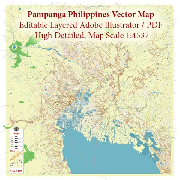
Pampanga, located in Central Luzon, Philippines, has a rich history of urban development that spans centuries. The province’s urban development can be traced back to the pre-colonial period when indigenous communities settled along the fertile plains of the Pampanga River.
Pre-Colonial Period: During the pre-colonial era, the Aeta people were the earliest inhabitants of Pampanga. Over time, Austronesian migrants also settled in the area, leading to the establishment of small villages engaged in agriculture, fishing, and trade. These settlements formed the foundation for the later development of more organized communities.
Spanish Colonial Period: When the Spanish arrived in the Philippines in the 16th century, they exerted influence and control over Pampanga. The Spanish colonization led to the establishment of Spanish-style towns and the introduction of Christianity. The town of San Fernando, now the provincial capital, was founded in 1754 and became a center for trade and governance.
The Spanish colonial architecture, characterized by churches, plazas, and ancestral houses, significantly influenced the urban development of Pampanga. The construction of churches, such as the San Agustin Church in Lubao, reflected the religious and cultural changes brought about by Spanish colonization.
American Period: The Philippines came under American rule in the late 19th century after the Spanish-American War. The American period saw the modernization of infrastructure, including transportation and communication networks. This period also marked the beginning of a more systematic approach to urban planning and development.
World War II and Post-War Reconstruction: During World War II, Pampanga played a significant role, being a strategic location for military operations. The province suffered considerable damage during the war, and many towns were left in ruins. The post-war period witnessed efforts to rebuild and rehabilitate urban areas, with an emphasis on infrastructure and economic recovery.
Contemporary Period: In recent decades, Pampanga has experienced rapid urbanization and economic growth. The province has become an industrial and commercial hub, with the development of industrial zones, shopping centers, and modern infrastructure. The Clark Freeport Zone, located in Angeles City, has played a crucial role in attracting investments and fostering economic development.
The urban landscape of Pampanga today reflects a blend of historical influences and modern developments. The province continues to evolve, with ongoing efforts to balance economic progress with the preservation of its cultural heritage and environmental sustainability. Urban planning initiatives aim to address the challenges of population growth, traffic congestion, and infrastructure development in a sustainable manner.


 Author: Kirill Shrayber, Ph.D.