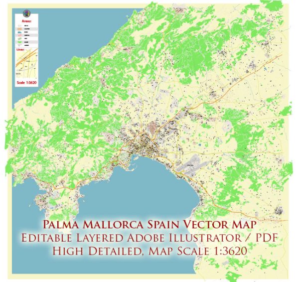
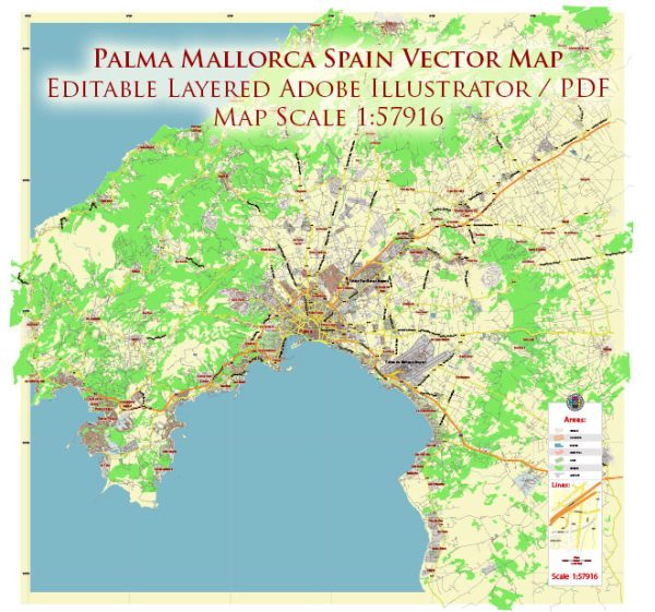
The history of urban development in Palma de Mallorca, the capital of the Balearic Islands in Spain, is rich and diverse. The city has a long and varied history that has shaped its urban landscape over the centuries.
- Roman Period (123 BC – 476 AD): The Romans were the first to establish a settlement on the site of present-day Palma, calling it “Palmaria Palmensis.” During this period, the city experienced significant growth and development, with the construction of roads, bridges, and public buildings.
- Moorish Rule (902 – 1229): In the 10th century, the Moors took control of Mallorca, and Palma became an important Muslim city named “Medina Mayurqa.” The Moors left a lasting influence on the architecture and street layout, with narrow, winding streets characteristic of Islamic urban design.
- Christian Reconquest (1229 – 1230): King James I of Aragon captured Mallorca from the Moors in 1229, marking the beginning of Christian rule. The Cathedral of Santa Maria, commonly known as La Seu, was constructed during this period and remains a major architectural landmark in Palma.
- Medieval and Renaissance Periods (13th – 17th centuries): Palma continued to grow during the Middle Ages, and its urban development reflected the prevailing architectural styles of the time. The city walls were expanded, and various churches and noble residences were built.
- Modern Era (18th – 19th centuries): Palma experienced economic and cultural growth during the 18th century, resulting in the construction of numerous palaces and mansions. The city expanded beyond its medieval walls, and public squares and gardens were established.
- 20th Century: The 20th century brought significant changes to Palma’s urban landscape. The city underwent urban renewal and modernization, with the construction of new buildings and infrastructure. The tourism industry also began to flourish during this period, leading to the development of hotels, resorts, and other amenities.
- Contemporary Period: In recent decades, Palma has faced the challenges of balancing modern development with the preservation of its historical and cultural heritage. Efforts have been made to protect and restore historic buildings, and sustainable urban planning has become a priority.
Today, Palma de Mallorca is a vibrant and cosmopolitan city that seamlessly blends its historical charm with modern amenities. The old town, with its medieval streets and historic landmarks, coexists with contemporary architecture, making Palma a unique and captivating destination for residents and visitors alike.


 Author: Kirill Shrayber, Ph.D. FRGS