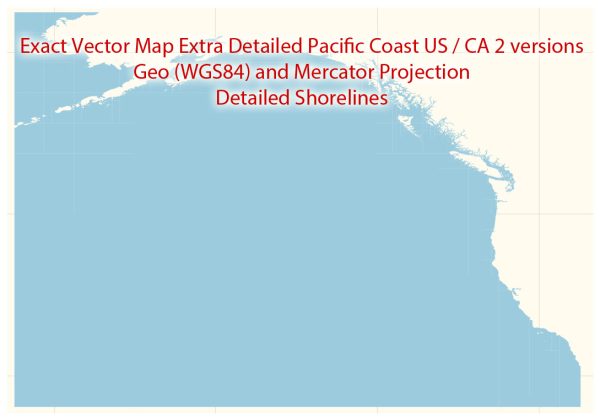
The Pacific Coast of the United States and Canada is home to several stunning national parks, each offering unique landscapes, wildlife, and recreational opportunities. Here are descriptions of some notable national parks in this region:
- Olympic National Park (Washington, USA):
- Located on the Olympic Peninsula in Washington, this park is known for its diverse ecosystems, including lush rainforests, alpine peaks, and rugged coastline.
- Visitors can explore the Hoh Rainforest, hike to Hurricane Ridge for panoramic views, and enjoy the pristine beaches along the Pacific coastline.
- Mount Rainier National Park (Washington, USA):
- Dominated by the iconic Mount Rainier, this park is a haven for outdoor enthusiasts. It features glaciers, subalpine meadows, and old-growth forests.
- Popular activities include hiking, wildlife watching, and climbing the glaciated peak of Mount Rainier.
- North Cascades National Park (Washington, USA):
- Known for its jagged peaks, glaciers, and pristine wilderness, North Cascades National Park offers a remote and rugged experience.
- Hiking, backpacking, and wildlife viewing are popular activities, and the park is often referred to as the “American Alps.”
- Redwood National and State Parks (California, USA):
- This collection of parks protects some of the world’s tallest trees, the iconic coastal redwoods. The parks are also home to diverse ecosystems, including old-growth forests and scenic coastline.
- Visitors can drive or hike through groves of giant redwoods and explore the picturesque coastal areas.
- Yosemite National Park (California, USA):
- While not directly on the Pacific Coast, Yosemite is relatively close and is renowned for its breathtaking granite cliffs, waterfalls, and diverse ecosystems.
- Iconic features include El Capitan, Half Dome, and Yosemite Falls. The park offers a range of activities, from hiking and rock climbing to photography.
- Pacific Rim National Park Reserve (British Columbia, Canada):
- This Canadian park is known for its rugged coastline, temperate rainforests, and pristine beaches. It consists of three regions: the Long Beach Unit, the Broken Group Islands, and the West Coast Trail.
- Activities include hiking, wildlife watching, kayaking, and exploring tidal pools along the shoreline.
- Gwaii Haanas National Park Reserve (British Columbia, Canada):
- Located on Haida Gwaii (Queen Charlotte Islands), this park combines cultural heritage with natural beauty. It is a protected area where visitors can explore ancient Haida village sites, old-growth rainforests, and diverse marine environments.
- The park is accessible by boat or seaplane and offers opportunities for kayaking, camping, and experiencing the rich Haida culture.
These national parks along the Pacific Coast showcase the incredible diversity of landscapes and ecosystems in this region, providing opportunities for outdoor recreation, wildlife observation, and appreciation of natural beauty.


 Author: Kirill Shrayber, Ph.D. FRGS