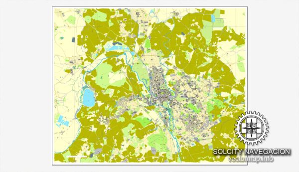
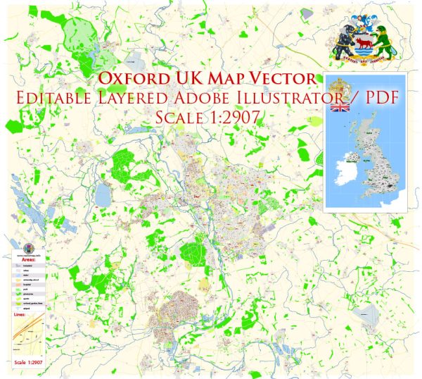
Oxford is a historic city located in the county of Oxfordshire in South East England. It is renowned for its prestigious university, the University of Oxford, which has played a significant role in shaping the city’s character and socio-economic landscape.
Economy:
- Education and Research: The presence of the University of Oxford has a substantial impact on the local economy. The university is a major employer and contributes significantly to research and development.
- High-Tech and Science Parks: Oxford has developed into a hub for high-tech industries and science parks. The Oxford Science Park, for instance, is home to numerous science and technology companies.
- Tourism: The city attracts a large number of tourists due to its historical and cultural significance. Tourism-related activities, including hospitality and retail, play a vital role in the local economy.
Housing:
- Variety of Housing: Oxford offers a mix of housing options, from historic buildings in the city center to modern developments in the outskirts.
- Cost of Living: The cost of living in Oxford tends to be relatively high, influenced in part by the demand for housing from students and professionals associated with the university.
Demographics:
- Diversity: Oxford is a diverse city with a mix of residents from various cultural and ethnic backgrounds, including a significant international population due to the university’s global reputation.
- Educational Attainment: Given the academic nature of the city, a considerable portion of the population has a high level of educational attainment.
Transportation:
- Public Transport: Oxford has a well-developed public transportation system, including buses and trains, making it easy for residents to navigate the city and connect to other parts of the UK.
- Cycling: Oxford is known for being a bicycle-friendly city, and many residents choose cycling as a primary mode of transportation.
Challenges:
- Housing Affordability: The demand for housing, particularly driven by the university’s population, can lead to challenges in housing affordability for both residents and students.
- Traffic Congestion: Like many historic cities, Oxford faces issues related to traffic congestion, especially in the city center with its narrow, winding streets.
Please keep in mind that this is a general overview, and specific details may vary. For the most up-to-date and detailed information, it’s recommended to consult local government sources, recent census data, and economic reports.


 Author: Kirill Shrayber, Ph.D. FRGS